
Old Maps of London from the 1900s
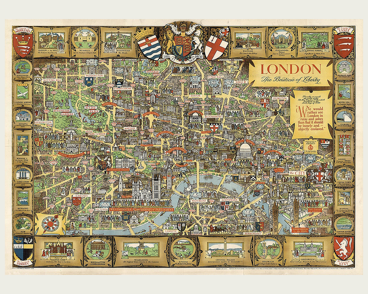
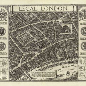
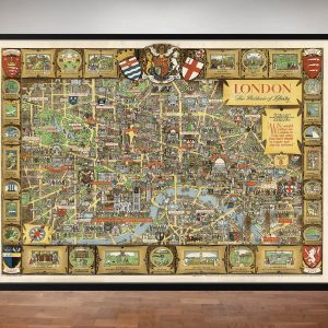
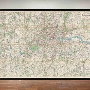
London’s maps from the 1900s show a city connected by more than streets. Bacon’s 1920 map reaches well beyond the centre, marking railway and tram routes alongside parks, roads and the Thames. Follow a route you know, look for a familiar district, or see how the capital and its surroundings were drawn at the time.
The maps in this collection are available as fine art reproduction prints.
Showing all 3 results
-
Old Maps of London from the 1900s
Price range: £29.95 through £39.95 Select options This product has multiple variants. The options may be chosen on the product page -
Old Maps of London from the 1900s
Price range: £29.95 through £39.95 Select options This product has multiple variants. The options may be chosen on the product page -
Old Maps of London from the 1900s
Price range: £29.95 through £39.95 Select options This product has multiple variants. The options may be chosen on the product page
Showing all 3 results