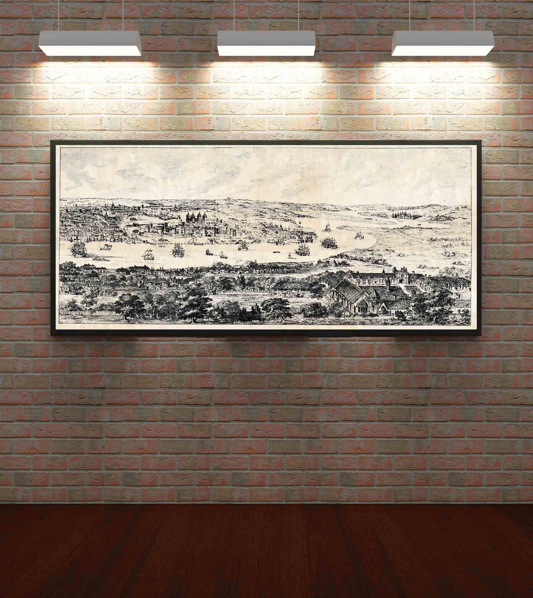

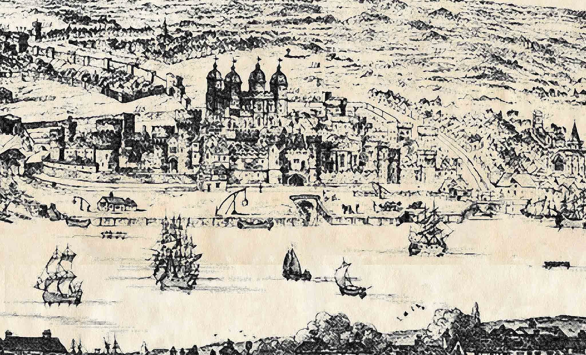

The Tower of London, Bermondsey Abbey and distant Greenwich Palace mark the eastern end of Anthonis van den Wyngaerde’s panorama. Seen across the Thames from the south, this section brings together a royal fortress, a substantial monastic precinct and the river route towards Greenwich.
Map Details
- Original title: Panorama of London, Westminster and Southwark as they appeared A.D. 1543
- Draughtsman: Anthonis van den Wyngaerde
- Original studies: About 1544; traditionally titled 1543
- Version reproduced: A later published reproduction of the Tudor drawing; its precise publication date has not been established
- Section: Eastern section, the third of three
- Area shown: The Tower of London, Bermondsey and the Thames towards Greenwich
- Viewpoint: Looking across the river from the south
- Print size: 29.5" × 17"
The Tower and the Thames
The White Tower’s corner turrets give the fortress a recognisable outline above the riverbank. Nearby buildings crowd together behind the waterfront, while ships under sail and smaller craft spread across the Thames. The river is central to the composition, connecting the densely built City with settlements farther east.
Bermondsey and Greenwich
Bermondsey Abbey’s church and surrounding buildings occupy the foreground, with trees and enclosed plots breaking up the southern bank. Farther away, the Thames curves through a much more open landscape towards Greenwich Palace. The contrast with the streets around the Tower shows the limits of London’s built-up area in the Tudor period.
The date of the panorama
Wyngaerde drew the original panorama in the sixteenth century. The Government Art Collection dates his studies to about 1544, although the traditional title gives 1543. This fine art print reproduces a later published version of that Tudor drawing; its precise publication date has not been established.