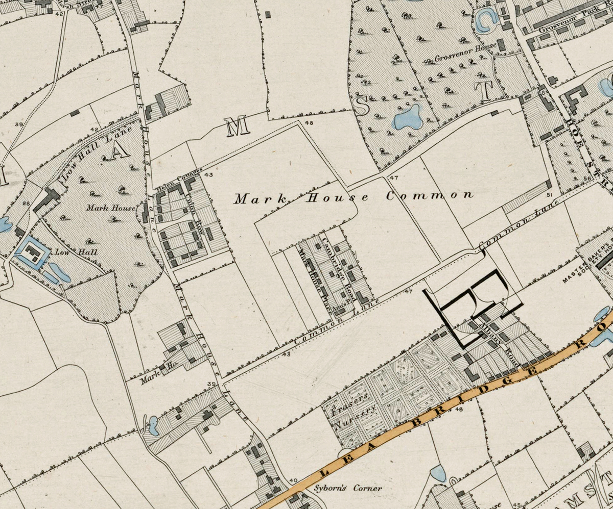
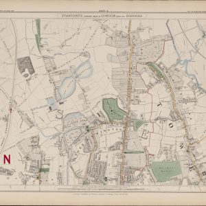

The Old London Map Company are pleased to offer this fine art reproduction sympathetically digitalised from the original to a standard equalling museum quality. This map was originally published by Edward Stanford in 1872. Like the other sheets in the series, it originally formed part of a 24-sheet large-scale map depicting London and its surroundings during the late Victorian era. Now produced individual editions so you can enjoy a finished piece featuring the particular area of interest within Victorian London.
Overview
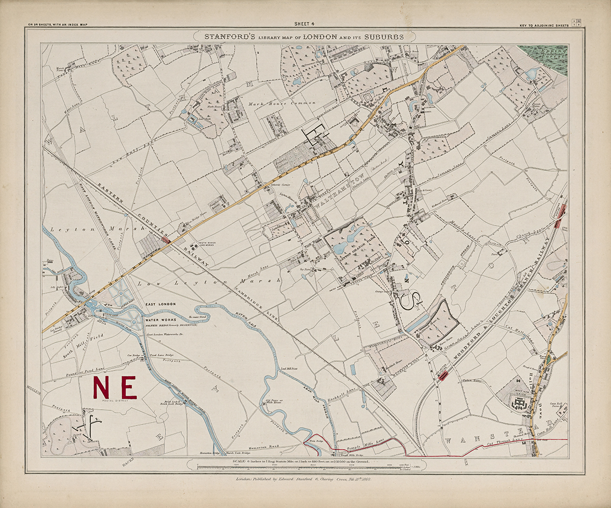
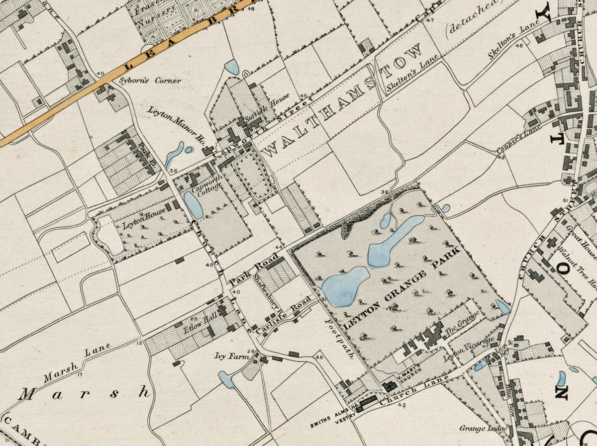
Sheet 4 illustrates the far north-eastern outskirts of London as they appeared in the early 1870s. The map covers the Lea Valley and the beginnings of East London’s industrial districts, including parts of Walthamstow, Leyton, and Wanstead. Much of the area remains rural at this date, with marshes, waterworks, and the winding River Lea dominating the landscape. The map shows scattered villages, farmland, and the infrastructure of reservoirs and canals vital to London’s growing water supply.
Cartographic Details
- Fine engraved line work with hand colouring, typical of Victorian cartography.
• The River Lea and associated reservoirs and waterworks are prominent features.
• Railways, including the Eastern Counties lines, are clearly indicated alongside developing roads and hamlets.
Administrative and Postal Features
- The bold red letters “N E” identify the North Eastern postal district created during mid-19th-century postal reforms.
• Red boundary lines delineate parish and district borders, reflecting the administrative geography before the creation of modern London boroughs.
Original Size
The complete Stanford’s Library Map measured about 9 × 12 feet (approximately 2.7 × 3.7 m) when all 24 sheets were assembled. Each individual sheet, including Sheet 1, was printed on paper roughly 18 × 24 inches (about 46 × 61 cm) which we supply as our Medium size but due to the quality of our scanning process we are also able to offer a larger edition at 24 x 29 inches (about 61 × 73.5 cm)
printed on paper roughly 18 × 24 inches (about 46 × 61 cm).
Modern Postcode Coverage
Today the rural and marshy lands depicted have become part of London’s northeastern suburbs. Modern Royal Mail postcode districts covering this sheet include:
• E10 – Leyton
• E11 – Leytonstone, Wanstead
• E17 – Walthamstow
• E15 – Stratford (southern edge)
• Parts of E20 – Olympic Park area (southern Lea Valley)
• IG1/IG2 – Ilford (eastern edge)
In summary, Sheet 4 captures the Lea Valley and surrounding countryside before extensive urbanisation, highlighting the reservoirs, waterworks, and early rail links that would shape the future growth of northeast London.