


VIEW AN INDEX OF THE FULL SERIES HERE
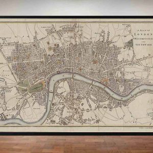
The Old London Map Company are pleased to offer this fine art reproduction sympathetically digitalised from the original to a standard equalling museum quality. This map was originally published by Edward Stanford in 1872. Like the other sheets in the series, it originally formed part of a 24-sheet large-scale map depicting London and its surroundings during the late Victorian era. Now produced in individual editions so you can enjoy a finished piece featuring the particular area of interest within Victorian London.
Overview
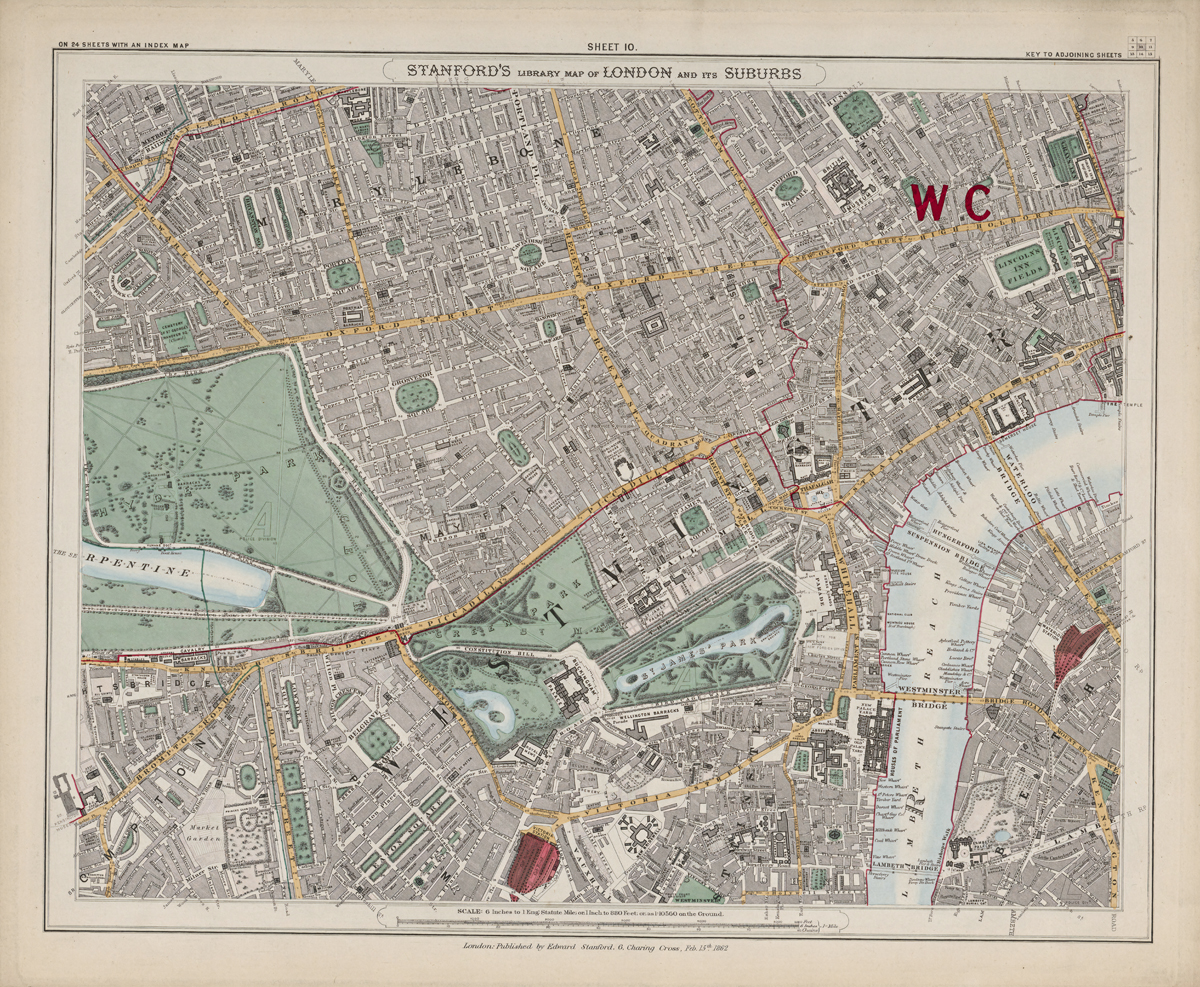
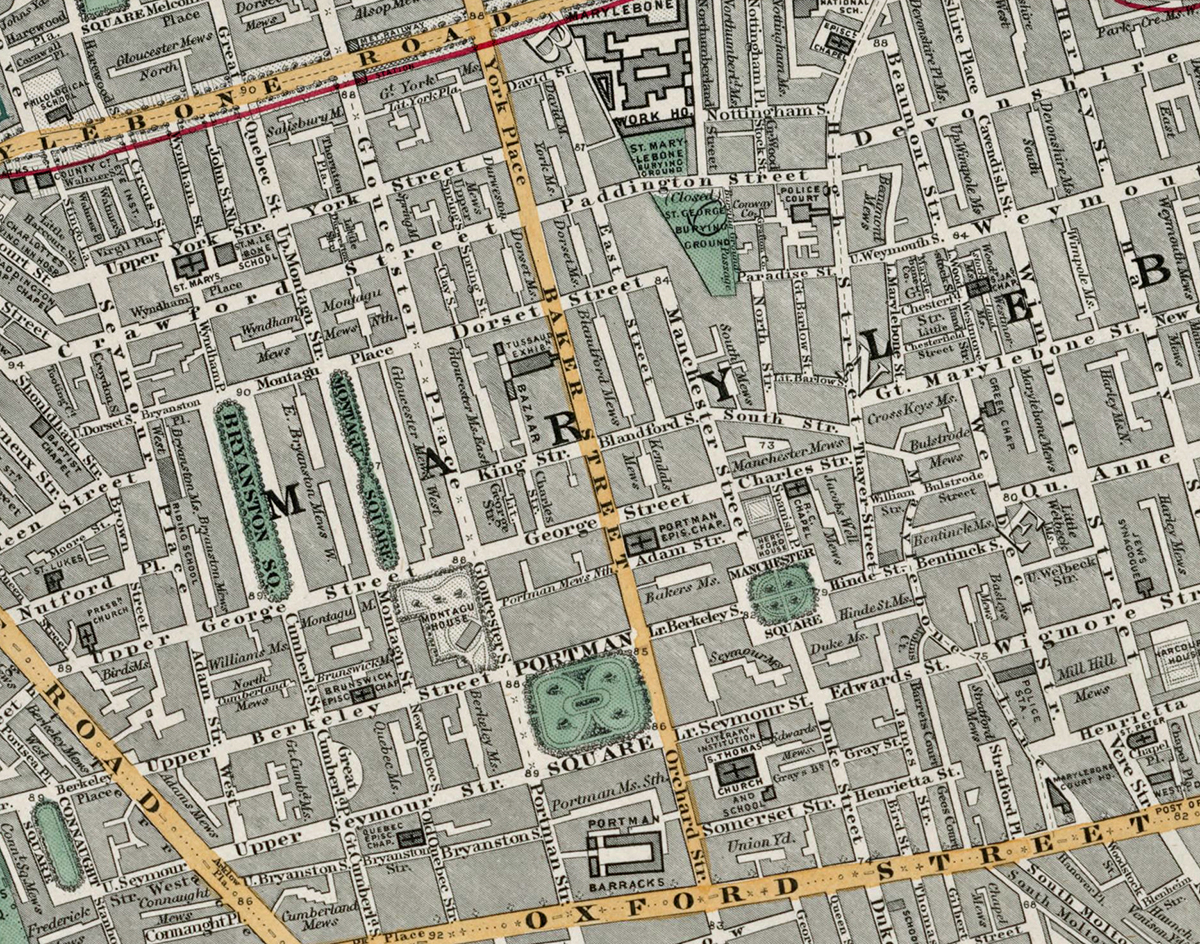
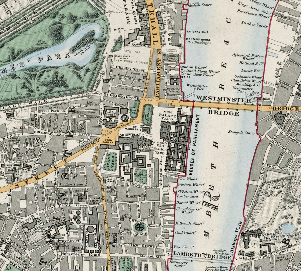
Sheet 10 covers the heart of central London, including Westminster, St James’s, Mayfair, Soho, Covent Garden, and the Strand. It shows the River Thames curving along the south and highlights grand parks such as Green Park and St James’s Park. This was the political and ceremonial centre of Victorian London, containing the Houses of Parliament, royal palaces, and major government offices.
Cartographic Details
- Finely engraved line work with hand colouring characteristic of Stanford’s 19th-century cartography.
• Key landmarks such as Buckingham Palace, the Palace of Westminster, and numerous government buildings are shown with precision.
• Major thoroughfares and squares are clearly labelled, reflecting the dense and historic street pattern of London’s West End.
Administrative and Postal Features
- The large red “W C” indicates the West Central postal district, part of London’s postal system introduced in the mid-19th century.
• Red boundary lines delineate parishes and districts, reflecting the administrative geography prior to today’s borough system.
Original Size
The complete Stanford’s Library Map measured about 9 × 12 feet (approximately 2.7 × 3.7 m) when all 24 sheets were assembled. Each individual sheet, including Sheet 1, was printed on paper roughly 18 × 24 inches (about 46 × 61 cm) which we supply as our Medium size but due to the quality of our scanning process we are also able to offer a larger edition at 24 x 29 inches (about 61 × 73.5 cm)
printed on paper roughly 18 × 24 inches (about 46 × 61 cm).
Modern Postcode Coverage
Today this central area of London is primarily covered by the following Royal Mail postcode districts:
• W1 – Mayfair, Soho, Marylebone (north-west corner)
• WC1 – Bloomsbury, Russell Square
• WC2 – Covent Garden, Strand, Holborn, Aldwych
• SW1 – Westminster, Belgravia, St James’s
• SE1 – South Bank (across the Thames)
Twenty Major Roads and Thoroughfares Shown
Prominent streets clearly marked on the map include:
1. Oxford Street
2. Regent Street
3. Piccadilly
4. The Strand
5. Charing Cross
6. Pall Mall
7. Whitehall
8. Victoria Street
9. Park Lane
10. Bond Street
11. Tottenham Court Road
12. Shaftesbury Avenue (then partly under development)
13. Haymarket
14. Leicester Square (surrounding streets)
15. Covent Garden Piazza and surrounding streets
16. Holborn
17. Kingsway (future alignment—shown as earlier streets)
18. Fleet Street (south-east corner)
19. Westminster Bridge Road
20. Lambeth Palace Road
Summary
In summary, Sheet 10 offers a richly detailed view of London’s political, cultural, and commercial core during the height of the Victorian era, with many of its principal roads and landmarks still forming the backbone of modern central London.