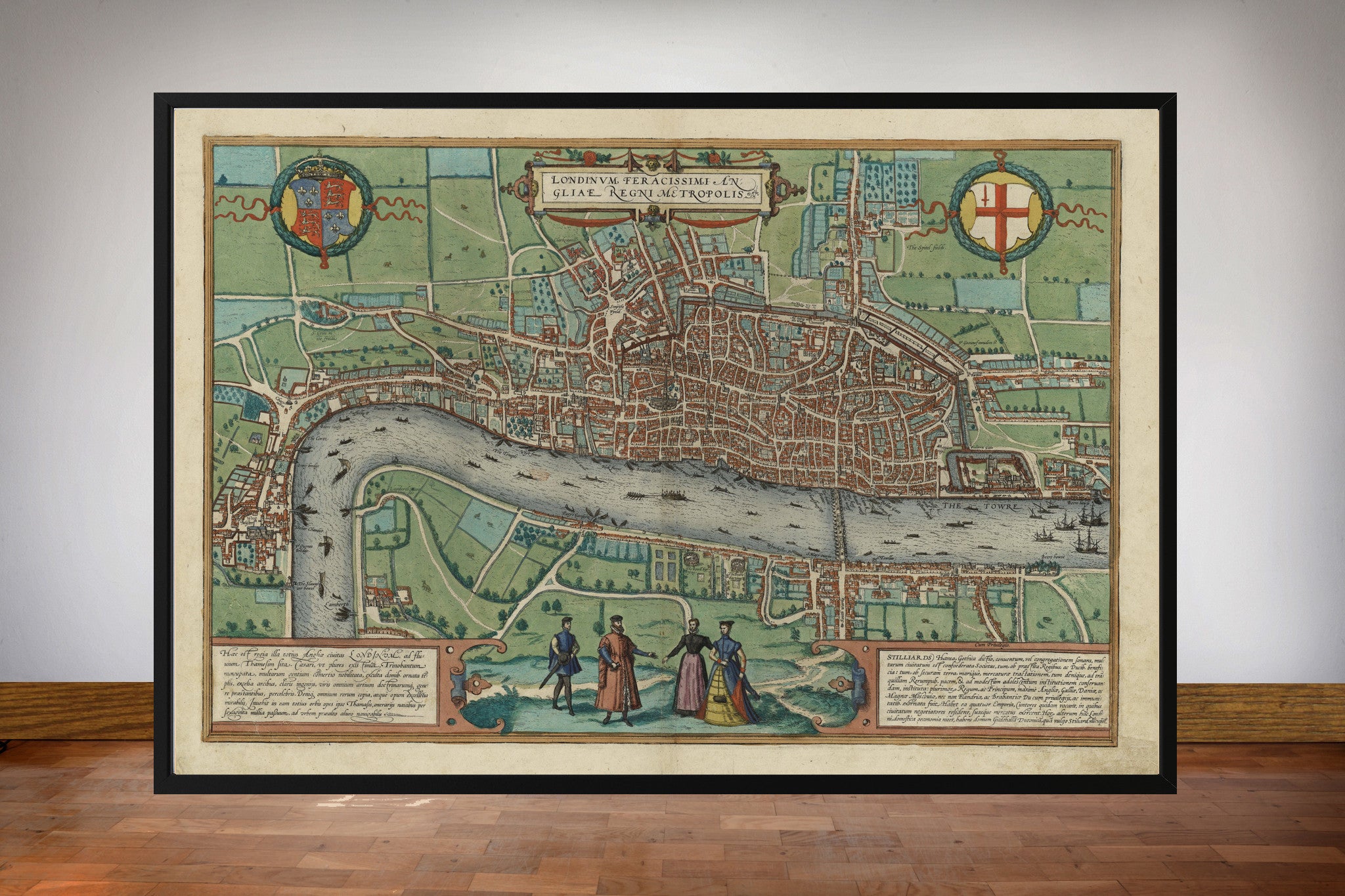

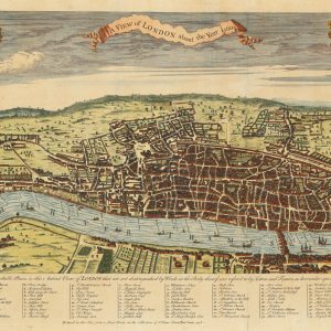

Known today as the Braun and Hogenberg map of London, Londinum Feracissimi Angliae Regni Metropolis appeared in 1572 in the first volume of Civitates Orbis Terrarum, the monumental atlas of cities edited by Georg Braun and engraved largely by Frans Hogenberg.
Map Details
- Editors / mapmakers: Georg Braun and Frans Hogenberg
- Date: 1572
- Original title: Londinum Feracissimi Angliae Regni Metropolis
- Published in: Civitates Orbis Terrarum, Volume I
- Coverage: London, Westminster and Southwark
- View: Elevated bird’s-eye plan
Elizabethan London Before the Great Expansion
The map records a city still concentrated around the medieval street plan. The walls and gates remain fundamental to the shape of the City, and the built-up area occupies only a fraction of modern central London. Outside the walls are fields, gardens, roads and scattered buildings, providing an immediate visual measure of the city’s later growth.
Old St Paul’s, the Tower and London Bridge
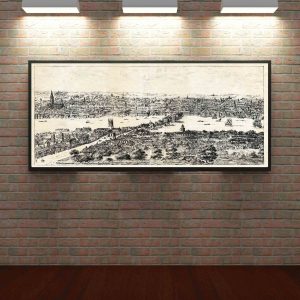
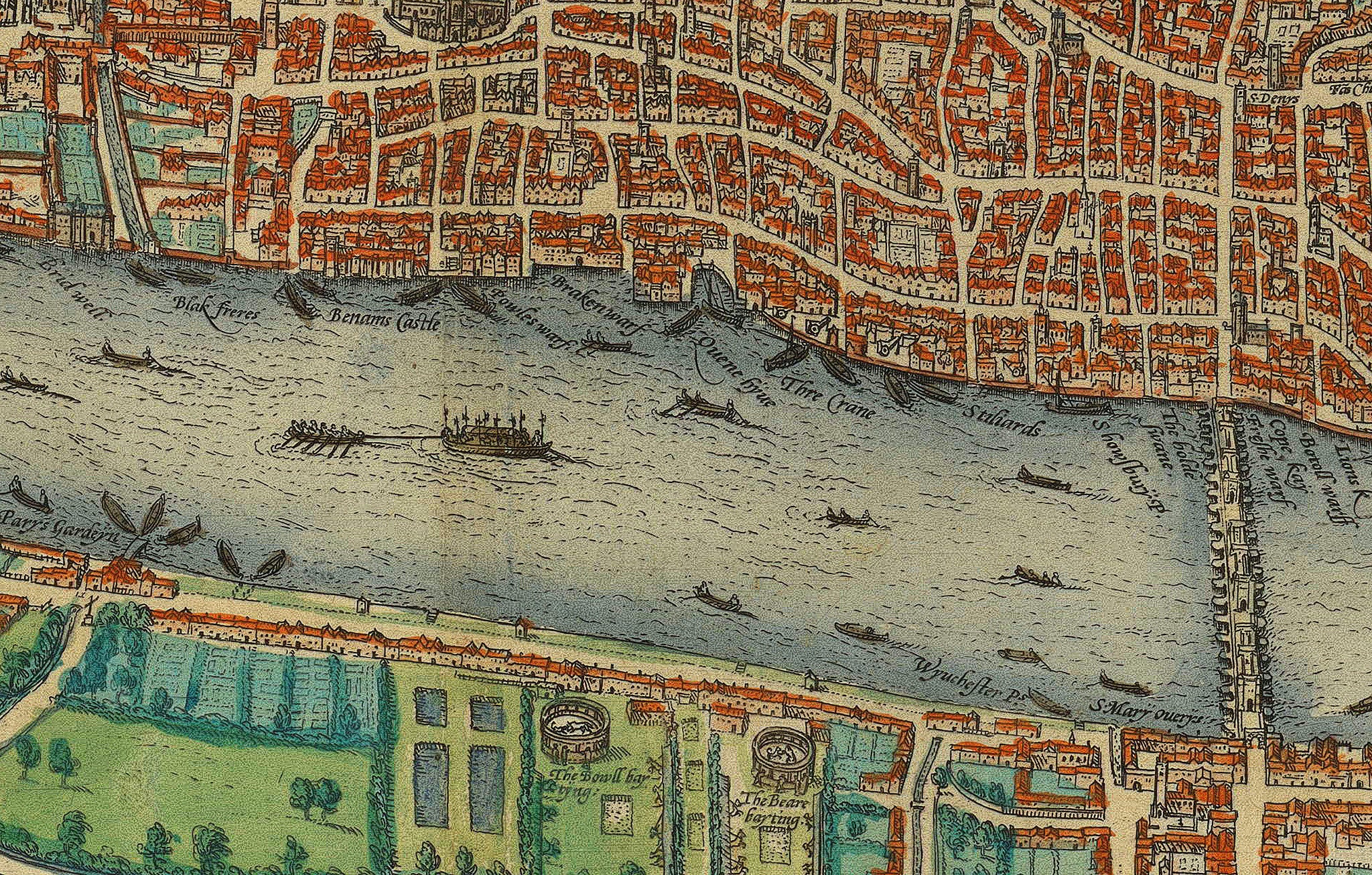
Old St Paul’s Cathedral dominates the skyline, while the Tower of London marks the eastern edge of the City. London Bridge, lined with buildings, forms the principal fixed crossing of the Thames and leads directly into Southwark. These landmarks make the map instantly recognisable while also revealing how differently the sixteenth-century city was organised.
Southwark, Westminster and the World of Shakespeare
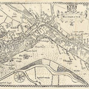
Southwark appears as a separate but closely connected settlement on the south bank. The area would become famous for playhouses, inns and entertainments, and the map captures the landscape from which the Shakespearean theatre district would emerge. To the west, the route towards Westminster links the commercial City with the royal and governmental centre.
A Landmark in the Mapping of London
The Braun and Hogenberg plan is closely connected with the great mid-sixteenth-century survey tradition represented by the surviving fragments of the Copperplate map and the later Agas woodcut. Together these sources form the foundation of our visual knowledge of Tudor London.
Its combination of topographical information and decorative presentation is characteristic of Civitates Orbis Terrarum, which sought to show the great cities of Europe as both geographical places and expressions of civic identity.
Supplied unframed as a fine art print.