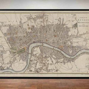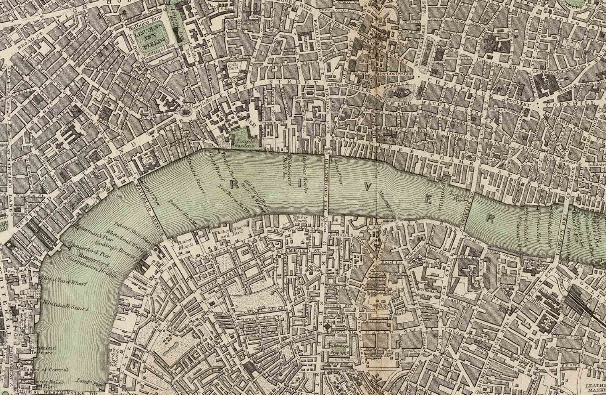
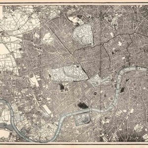

This 1836 map of London belongs to the celebrated series issued for the Society for the Diffusion of Useful Knowledge, commonly abbreviated to SDUK. The Society aimed to spread practical and educational information to a wide readership, and its maps were produced as affordable but carefully engraved reference works.
Map Details
- Publisher: Society for the Diffusion of Useful Knowledge
- Date: 1836
- Map type: General plan of London
- Period: Late Georgian / early Victorian London
- Features shown: Streets, principal roads, parks, public buildings, the Thames and surrounding districts
London on the Eve of the Railway Age
The map was produced at a turning point in London’s history. The capital had already grown well beyond its eighteenth-century core, but the railway boom of the 1840s and 1850s had yet to alter its street pattern on the enormous scale seen later in the century.
That makes the plan especially useful for comparing pre-railway London with the Victorian metropolis that followed. The City and Westminster are densely built, while areas farther from the centre still show a looser pattern of streets and open land.
The Thames, Parks and Main Routes
The River Thames cuts prominently through the map and remains the dominant physical feature of the capital. Major crossings connect the two banks, while the river frontage reflects London’s commercial and transport life before the construction of later embankments and bridges altered its appearance.
Large parks and open spaces stand out clearly against the surrounding street network, helping the viewer understand the structure of west and central London at a glance.
The SDUK and Popular Cartography
The Society for the Diffusion of Useful Knowledge was founded in 1826 and became an important producer of educational publications for the expanding literate public. Its maps were admired for presenting a substantial amount of information in a clear, restrained style.
This London plan is a good example of that philosophy. It was intended to inform rather than merely decorate, and today that same quality makes it particularly useful for local and urban history.
Why This Map Is Historically Interesting
Its 1836 date places it between Georgian and Victorian London. The map records the capital before the great wave of railway construction, suburban growth and late-nineteenth-century redevelopment, giving a clear view of the city at the beginning of one of the most dramatic periods of change in its history.
Supplied unframed as a fine art print.