
Stanford’s Library Map of London – Sheet 1
The Old London Map Company are pleased to offer this fine art reproduction expertly digitalised from the original to a degree that exceeds museum quality standards. This map was originally published by Edward Stanford in 1872. Like the other sheets in the series, it originally formed part of a 24-sheet large-scale map depicting London and its surroundings during the late Victorian era. Now produced individual editions so you can enjoy a finished piece featuring the particular area of interest within Victorian London.
Overview
Sheet 1 portrays the far north-western outskirts of London as they appeared in the early 1870s. It includes largely rural and semi-rural areas such as Hendon, Mill Hill, Finchley, Edgware, and Cricklewood. The map shows fields, farms, scattered hamlets, and a few main roads, illustrating how this region was still countryside before the rapid suburban expansion of the late 19th and early 20th centuries.
Cartographic Details
- Engraved line work with hand colouring typical of mid-19th-century cartography.
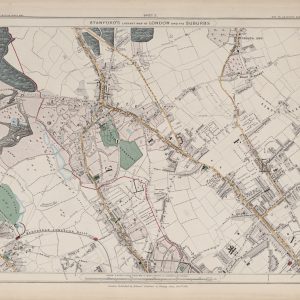
• Villages, main roads, and rail lines are marked with fine detail; open farmland dominates most of the sheet.
• Woodland areas such as those near Hendon and Finchley are shaded in green.
Administrative and Postal Features
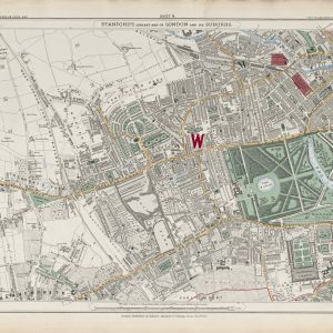
- The bold red letters “N W” identify the NW (North Western) postal district of London, reflecting the postal system reforms of the mid-19th century.
• Parish boundaries and local divisions are lightly drawn, recording the administrative geography prior to modern borough formation.
Original Size
The complete Stanford’s Library Map measured about 9 × 12 feet (approximately 2.7 × 3.7 m) when all 24 sheets were assembled. Each individual sheet, including Sheet 1, was printed on paper roughly 18 × 24 inches (about 46 × 61 cm) which we supply as our Medium size but due to the quality of our scanning process we are also able to offer a larger edition at 24 x 29 inches (about 61 × 73.5 cm)
Modern Postcode Coverage
The rural districts shown on this 1872 sheet now form part of London’s built-up suburbs. Today the area is mainly covered by the following Royal Mail postcode districts:
• NW2 – Cricklewood, Dollis Hill
• NW4 – Hendon
• NW7 – Mill Hill
• NW9 – Colindale, The Hyde
• Parts of HA8 – Edgware and surrounding areas
• Parts of N12/N20 – Finchley and Totteridge on the eastern side
In summary, Sheet 1 captures a snapshot of London’s northern countryside in 1872, just before rapid suburban development transformed these fields and villages into the residential neighbourhoods of present-day North West London.
VIEW AN INDEX OF THE FULL SERIES HERE
Just some of the Victorian towns and well known places detailed:
Roads
-
Finchley Road
-
Hendon Lane
-
Cricklewood Lane
-
Brent Street
-
Golders Green Road
-
Childs Hill Lane
-
West End Lane
-
Dollis Road
-
Church Lane
-
Mill Hill Lane
Places of Interest / Notable Locations
-
Hampstead Heath
-
Golders Green
-
Childs Hill
-
Hendon
-
Cricklewood
-
West End (now West Hampstead)
-
Finchley
-
Hendon Church
-
Finchley Church
-
Mill Hill