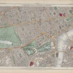
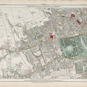
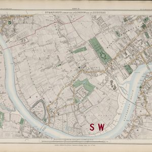
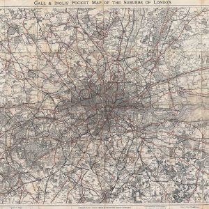
J. H. Colton’s 1855 map of London was produced for the American atlas market and offers a compact view of the British capital during a period of intense mid-Victorian growth.
Map Details
- Publisher: J. H. Colton & Co.
- Date: 1855
- Place of publication: New York
- Map type: Atlas map of London
- Features shown: Streets, roads, railways, parks, principal buildings and the River Thames
London in the Mid-1850s
By the middle of the nineteenth century London had become the largest city in the world. The map records a capital that had already spread far beyond the old City walls and Westminster, with dense development extending across both sides of the Thames.
Yet the geography is still recognisably pre-modern in places. Large parks and open spaces stand out strongly, and suburban growth remains uneven around the edges of the built-up area.
The Railway City
Railways had become one of the defining features of Victorian London. Major lines entered the capital from several directions and new termini were reshaping districts around their approaches. On an 1855 map these routes provide an excellent snapshot of the city during the first great phase of railway expansion.
Colton and American Cartography
Joseph Hutchins Colton established one of the leading American map-publishing firms of the nineteenth century. Colton maps are known for clear engraving, decorative borders and atlas presentation, and the London map fits neatly within that tradition.
Its American origin adds an interesting dimension: London is presented as one of the great world cities for an international audience rather than solely as a local British street plan.
Why This Map Stands Out
The map combines practical urban detail with a strong decorative character. Its mid-Victorian date, railway content and transatlantic publishing history make it especially appealing as both a historical document and a display piece.
Supplied unframed as a fine art print.