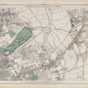
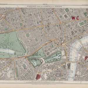
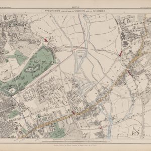
This plan of London, Westminster and Southwark is engraved by Benjamin Baker and catalogued as published by Richard Phillips in 1807. Baker worked in the late eighteenth and early nineteenth centuries, rather than the seventeenth century.
The map shows Hyde Park and St James’s Park, the developing streets of Somers Town and Pentonville, and the London Docks east of the Tower. Several squares and open spaces are numbered, but no accompanying key is included on this reproduction.
Supplied unframed as a fine art print.