The Old London Map Company are pleased to offer this fine art reproduction sympathetically digitalised from the original to a degree that exceeds museum quality standards. This map was originally published by Edward Stanford in 1872. Like the other sheets in the series, it originally formed part of a 24-sheet large-scale map depicting London and its surroundings during the late Victorian era. Now produced individual editions so you can enjoy a finished piece featuring the particular area of interest within Victorian London.
Overview
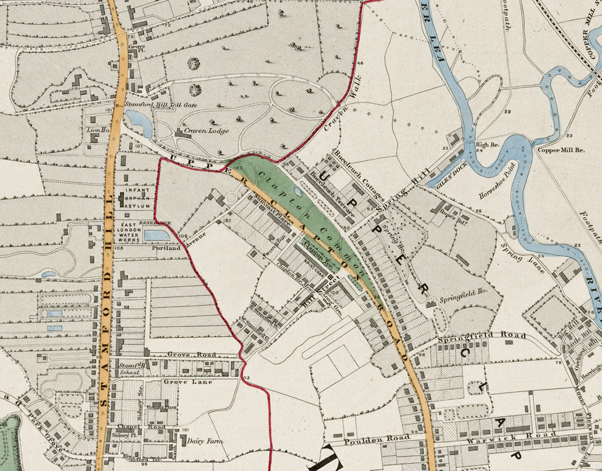
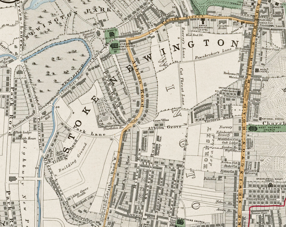
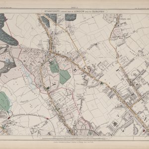
Sheet 3 presents the north-eastern districts of London as they appeared in the early 1870s, covering areas such as Stoke Newington, Clapton, parts of Hackney, and reservoirs around the New River. At the time, these areas were a mixture of growing urban neighbourhoods, market gardens, and open countryside. The extensive waterworks and reservoirs of the New River Company are prominent features on this sheet.
Cartographic Details
- Engraved line work with delicate hand colouring typical of mid-19th-century cartography.
• The large reservoirs and the New River are clearly shown, along with parks and green spaces such as Clissold Park and Hackney Downs.
• Roads, parish boundaries, and the expanding railway network are carefully detailed.
Administrative and Postal Features
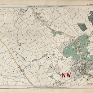
- The bold red letter “N” marks the Northern postal district, reflecting the postal reforms of the mid-19th century.
• Red boundary lines delineate parishes and early local divisions, showing the administrative layout prior to modern London boroughs.
Original Size
The complete Stanford’s Library Map measured about 9 × 12 feet (approximately 2.7 × 3.7 m) when all 24 sheets were assembled. Each individual sheet, including Sheet 1, was printed on paper roughly 18 × 24 inches (about 46 × 61 cm) which we supply as our Medium size but due to the quality of our scanning process we are also able to offer a larger edition at 24 x 29 inches (about 61 × 73.5 cm)
printed on paper roughly 18 × 24 inches (about 46 × 61 cm).
Modern Postcode Coverage
The area depicted is now fully urbanised and forms part of today’s inner north-east London. Modern Royal Mail postcode districts covering this sheet include:
• N1 – Stoke Newington (western section)
• N4 – Finsbury Park (north-western edge)
• N5 – Highbury (south-western edge)
• N16 – Stoke Newington, Stamford Hill
• E5 – Clapton
• E8 – Hackney Central (southern margin)
• E9 – South Hackney and parts of Homerton
In summary, Sheet 3 records the north-eastern approaches to Victorian London, highlighting the balance of rural reservoirs, new housing developments, and early infrastructure that would soon become the dense boroughs of Hackney and surrounding districts.