
VIEW AN INDEX OF THE FULL SERIES HERE
The Old London Map Company are pleased to offer this fine art reproduction sympathetically enhanced and digitalised from the original to a standard equalling museum quality. This map was originally published by Edward Stanford in 1872. Like the other sheets in the series, it originally formed part of a 24-sheet large-scale map depicting London and its surroundings during the late Victorian era. Now produced in individual editions so you can enjoy a finished piece featuring the particular area of interest within Victorian London.
Overview
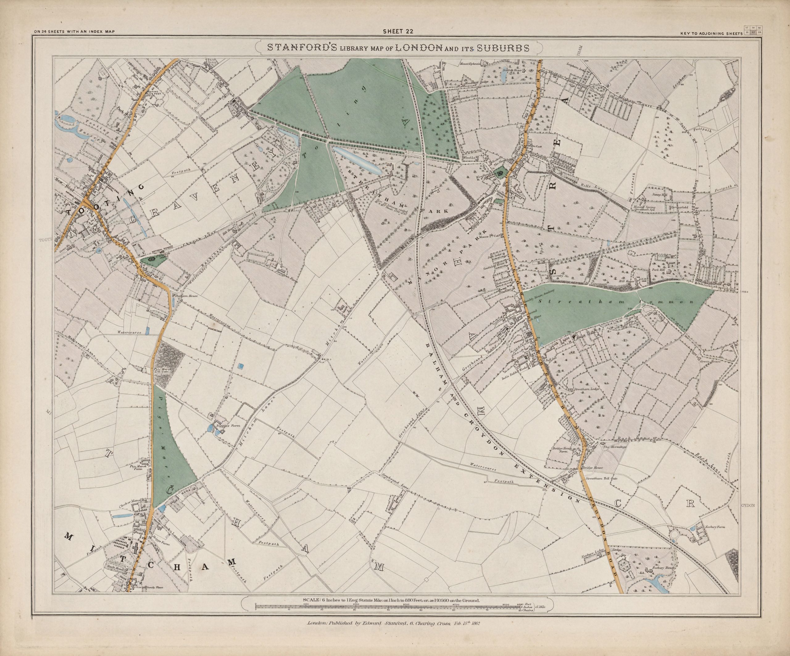
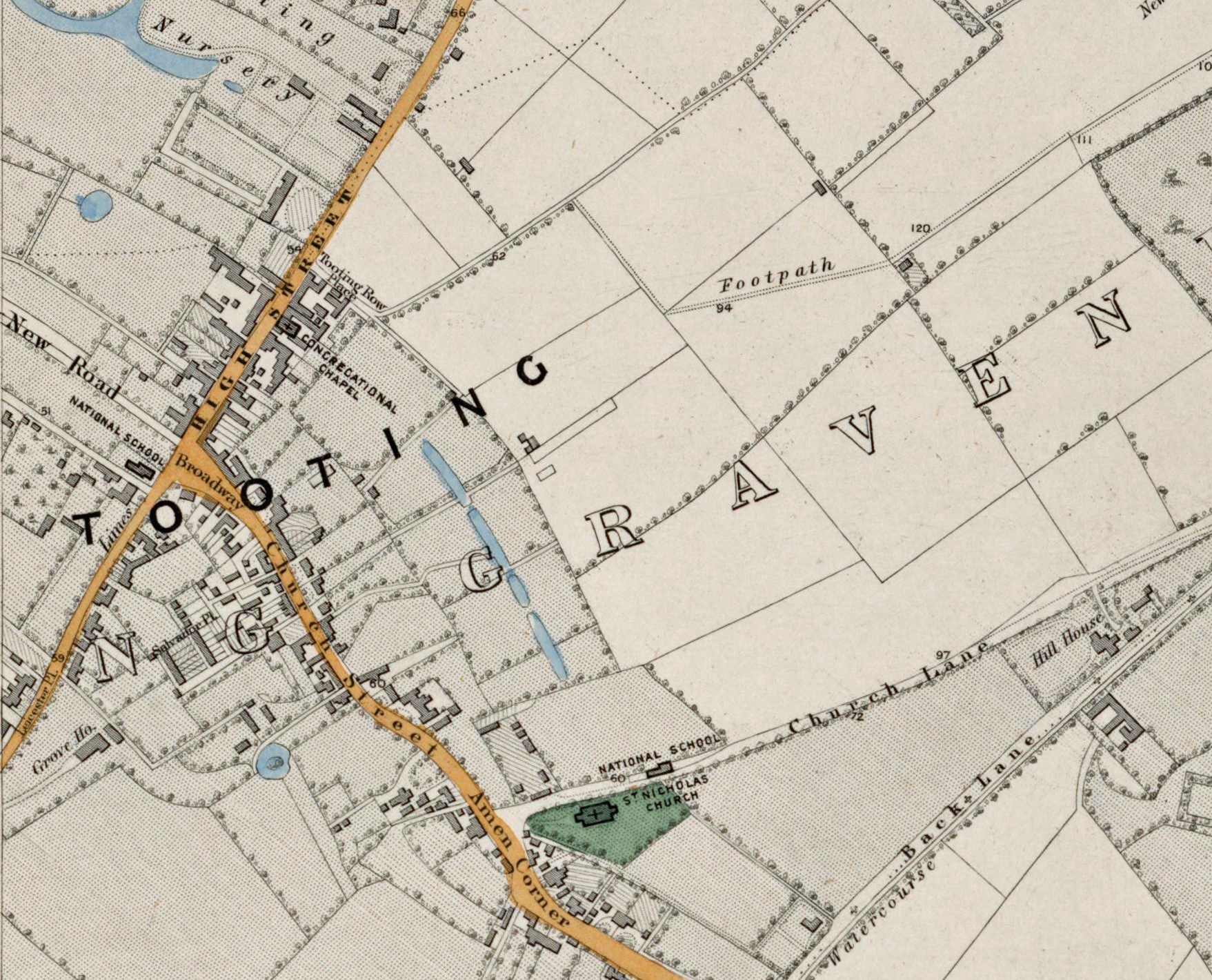
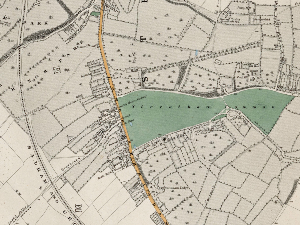
Sheet 22 captures the southern fringes of London, covering Streatham, Mitcham, and parts of Norbury. During the early 1870s, this landscape remained predominantly rural, dotted with commons, farms, and small villages, but suburban growth was beginning along the railway corridors.
Cartographic Details
- High-quality engraved line work and hand colouring typical of Stanford’s maps.
• Extensive green spaces such as Mitcham Common and Streatham Common are shaded in green.
• The emerging railway network, including the London, Brighton & South Coast Railway, is clearly shown.
Administrative and Postal Features
- This sheet lay primarily within the South Western (SW) and South Eastern (SE) postal districts of the mid-19th century.
• Red boundary lines represent the historic parish and district boundaries before the creation of modern London boroughs.
Original Size
The complete Stanford’s Library Map measured about 9 × 12 feet (approximately 2.7 × 3.7 m) when all 24 sheets were assembled. Each individual sheet, including Sheet 1, was printed on paper roughly 18 × 24 inches (about 46 × 61 cm) which we supply as our Medium size but due to the quality of our scanning process we are also able to offer a larger edition at 24 x 29 inches (about 61 × 73.5 cm) printed on conservation grade paper.
Modern Postcode Coverage
Today, this area corresponds largely to the following modern Royal Mail postcode districts:
• SW16 – Streatham, Norbury
• CR4 – Mitcham
• SW17 – Tooting (northern sections)
• CR7 – Thornton Heath (eastern edge)
Twenty Major Places Shown on the Map
Notable locations visible include:
1. Mitcham Common
2. Mitcham Village Green
3. Streatham Common
4. Streatham Village
5. Norbury (then a small hamlet)
6. River Wandle
7. St Peter and St Paul Church, Mitcham
8. St Leonard’s Church, Streatham
9. Figges Marsh
10. Elmhurst Farm
11. Gorringe Park
12. Streatham Park
13. Mitcham Cricket Green
14. Mitcham Hall
15. Streatham Lodge
16. Lonesome (small settlement)
17. Norbury Brook
18. Crown Mill (Wandle Mill site)
19. Lavender Fields
20. Tooting Graveney (north-west fringe)
Twenty Major Roads and Thoroughfares Shown
Prominent streets and routes include:
1. Streatham High Road (part of the historic Roman road)
2. Mitcham Road
3. London Road (Mitcham)
4. Tooting High Street (north-west corner)
5. Norbury Road
6. Green Lane
7. Church Road (Mitcham)
8. Commonside East
9. Commonside West
10. Figges Marsh Road
11. Croydon Road
12. Brixton Hill (northern fringe)
13. West Road (later Streatham Vale)
14. Gorringe Park Avenue
15. London Brighton Road (later London Road)
16. Southcroft Road
17. Tamworth Lane
18. Greyhound Lane
19. Streatham Common North
20. Streatham Common South
In summary, Sheet 22 captures the pastoral character of Streatham and Mitcham at the dawn of suburbanisation, with expansive commons and village greens alongside the growing railway infrastructure that would soon drive urban development.