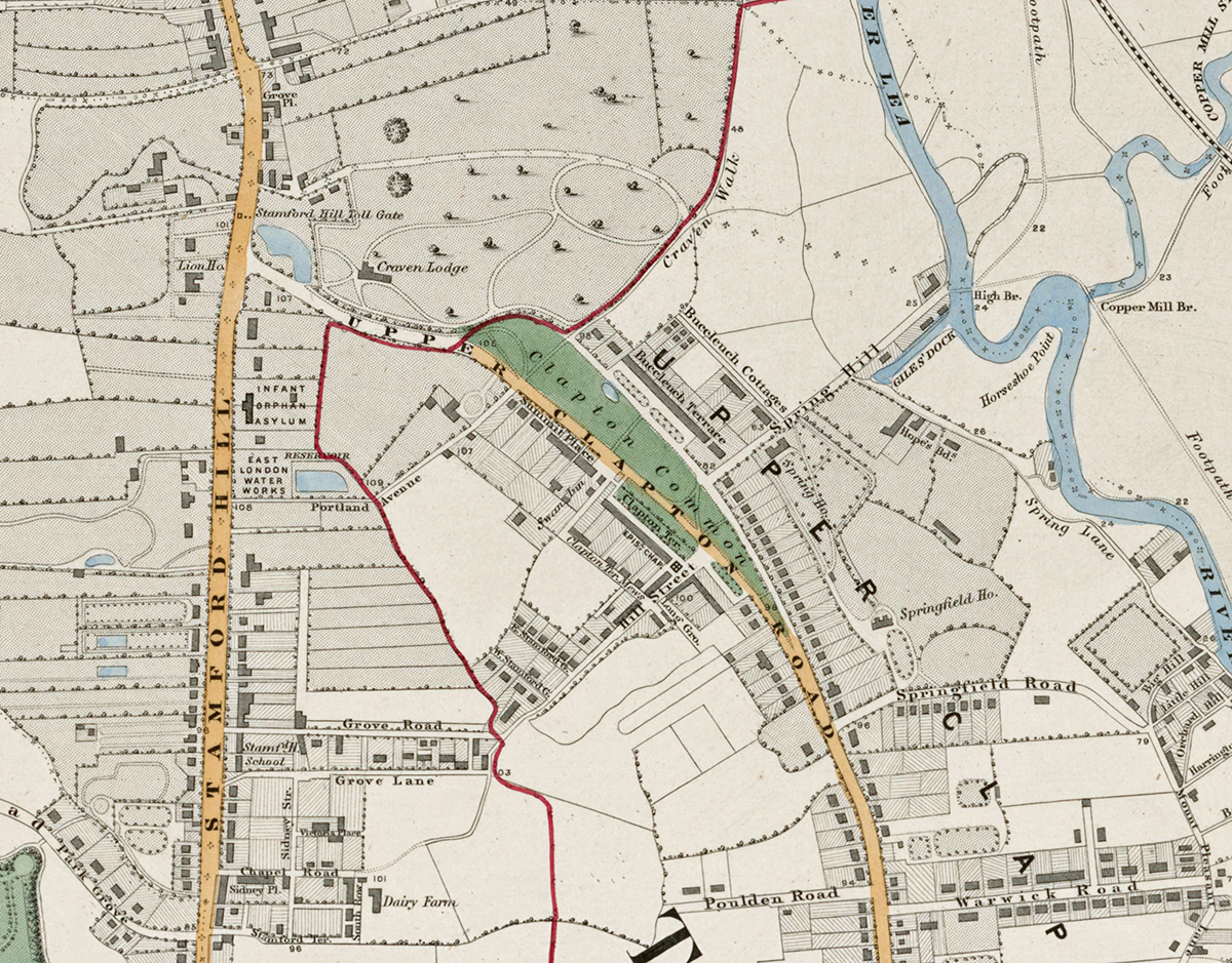
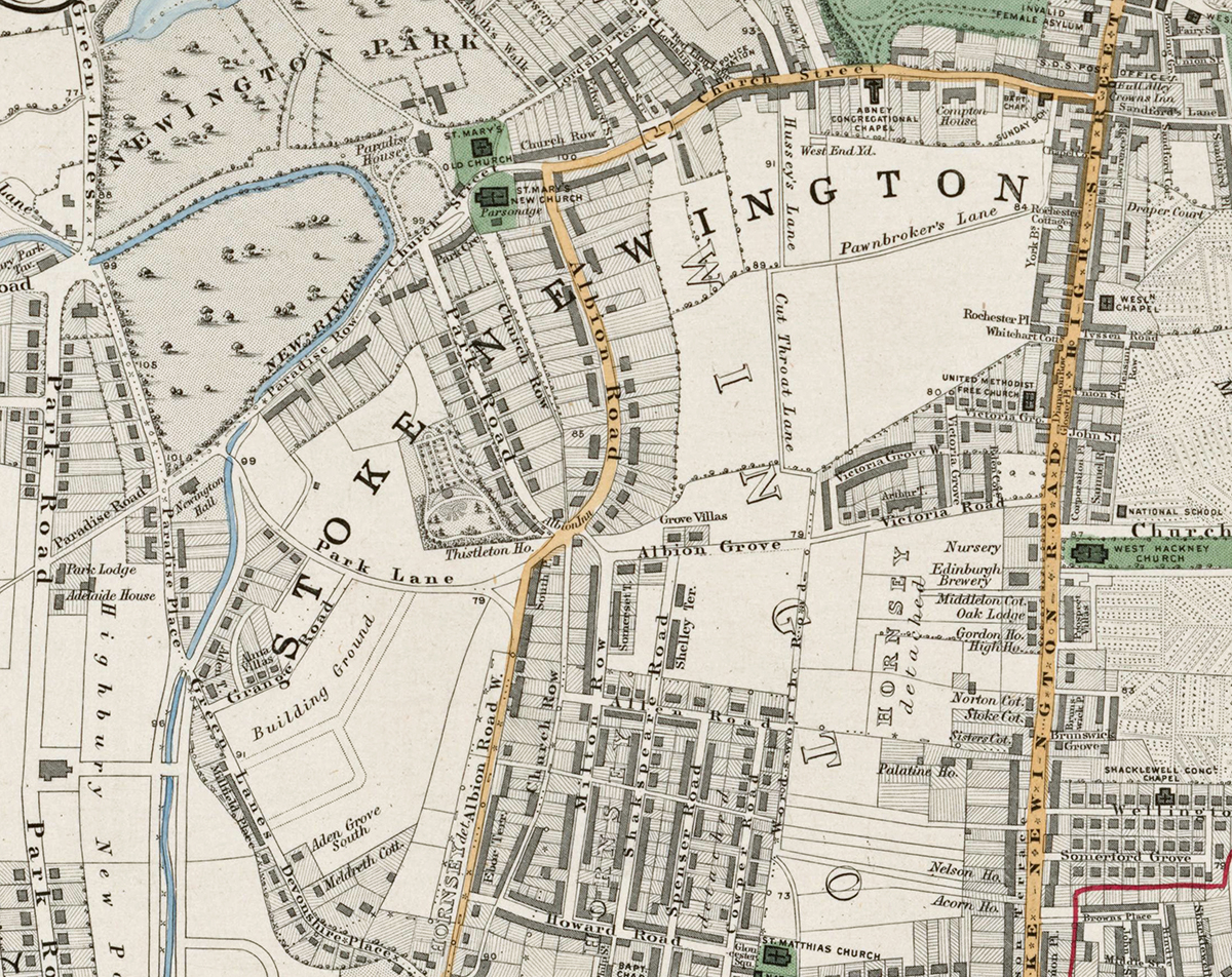
Sheet 3 of Stanford’s Library Map of London and Its Suburbs records north-east London in 1862, covering Stoke Newington, Clapton, Hackney, Stamford Hill and the New River reservoirs. It captures a landscape in transition, where established villages, market gardens and open ground were beginning to give way to denser streets, railways and suburban development.
Map Details
- Original title: Stanford’s Library Map of London and Its Suburbs
- Sheet: 3 of 24
- Publisher: Edward Stanford
- Published: London, 15 February 1862
- Scale: Six inches to one mile, approximately 1:10,560
- Area shown: Stoke Newington, Stamford Hill, Clapton, Hackney, Newington Green and adjoining districts
- Orientation: North at the top
- Original appearance: Printed linework with hand-coloured roads, water, boundaries and open ground
Stoke Newington, Clapton and Hackney in 1862
Stoke Newington and Clapton are shown before the later wave of suburban building transformed much of north-east London. Streets cluster around the older settlements while substantial areas of open land, gardens and fields remain visible between them.
The map is especially striking for its water infrastructure. The New River and its associated reservoirs form prominent features across the sheet, illustrating the importance of water supply to a rapidly expanding Victorian city.
Railways, Roads and a Changing Landscape
Roads and early railway lines cut through a district that was becoming increasingly connected with central London. Hackney and the southern parts of the sheet already display a tighter urban pattern, while farther north the contrast with open ground and scattered development remains clear.
Postal and Administrative Detail
The bold red N belongs to the original map and identifies the Northern postal district. Red boundary lines also preserve the parish and local divisions of the period, long before the creation of the modern London boroughs.
Modern Postcode Coverage
The area shown broadly corresponds with parts of:
- N4 – Finsbury Park and Manor House
- N5 – Highbury
- N16 – Stoke Newington and Stamford Hill
- E5 – Clapton
- E8 – Hackney Central
- E9 – Homerton and South Hackney
Modern postcode boundaries do not precisely follow the historic divisions shown on the map.