
Historical Background
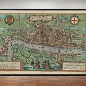
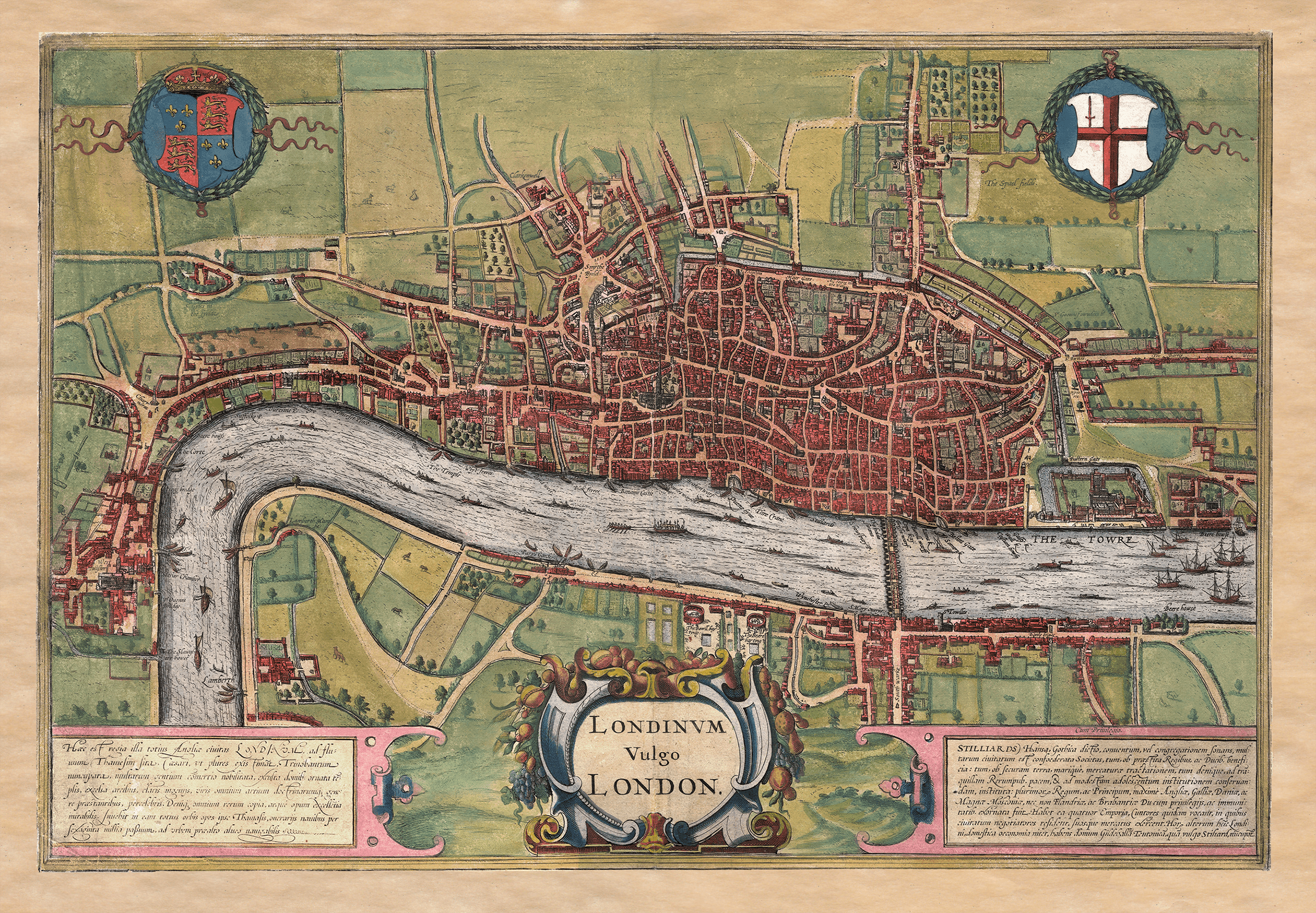
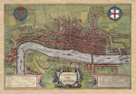
This old map of London brings together the crowded streets of the City, the royal buildings at Westminster and the open ground south of the Thames. Published by Jan Jansson in 1657, it reuses the celebrated London engraving first issued by Georg Braun and Frans Hogenberg in 1572. Its buildings preserve an earlier Tudor city rather than a new survey of London in the 1650s.
Map Details
- Original title: Londinum vulgo London
- Edition: Jan Jansson, Amsterdam, 1657
- Original engraving: Frans Hogenberg, first published with Georg Braun in 1572
- Area shown: the City of London, Westminster, Southwark and surrounding fields
- Format: a coloured bird’s-eye map with pictorial buildings, coats of arms and Latin text panels
London before the Great Fire
The Thames runs across the sheet, linking Westminster at the left with the Tower of London at the right. Boats and larger vessels occupy the river, while London Bridge carries a continuous line of buildings between the City and Southwark. Beyond the densely built streets, gardens and fields reveal how quickly the Tudor city gave way to open countryside.
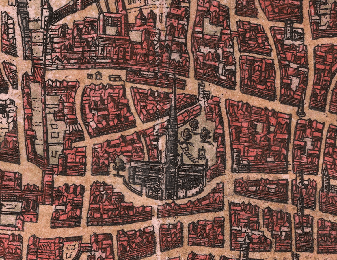
Old St Paul’s rises above the closely packed City streets, while the Tower marks the eastern waterfront. These landmarks make useful starting points for tracing the old street pattern and comparing it with London today. The scene predates the Great Fire of 1666 and the rebuilding that followed.
Why does a 1657 map show Tudor London?
The date 1657 identifies Jansson’s publication, not the date of a fresh survey. The underlying design appeared in Braun and Hogenberg’s Civitates orbis terrarum in 1572 and drew on an earlier view of London. The cathedral spire is one of the clearest clues: it had already disappeared before either edition was published. This makes the print especially interesting for anyone comparing how London was pictured at different dates.
A distinctive Jansson edition
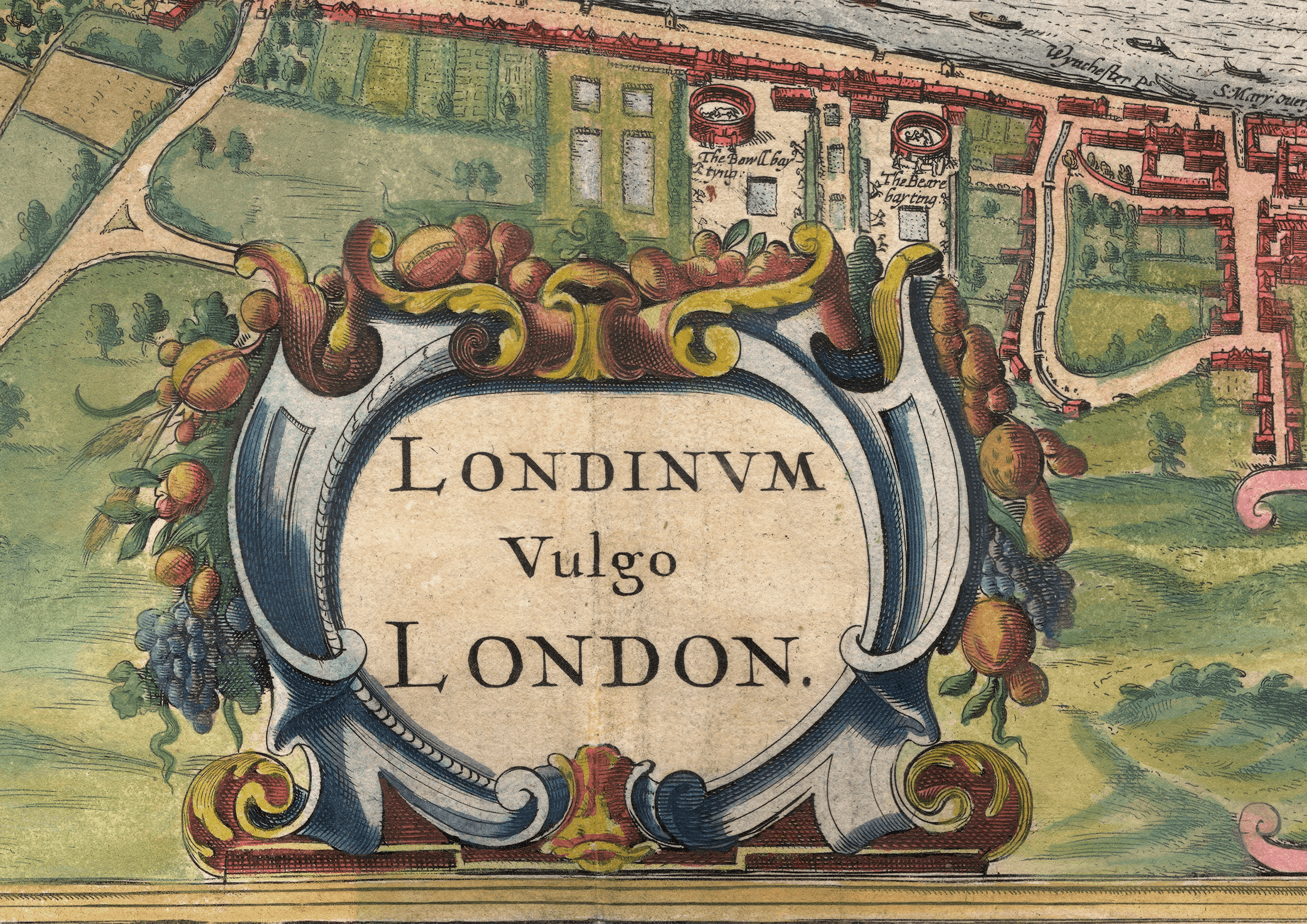
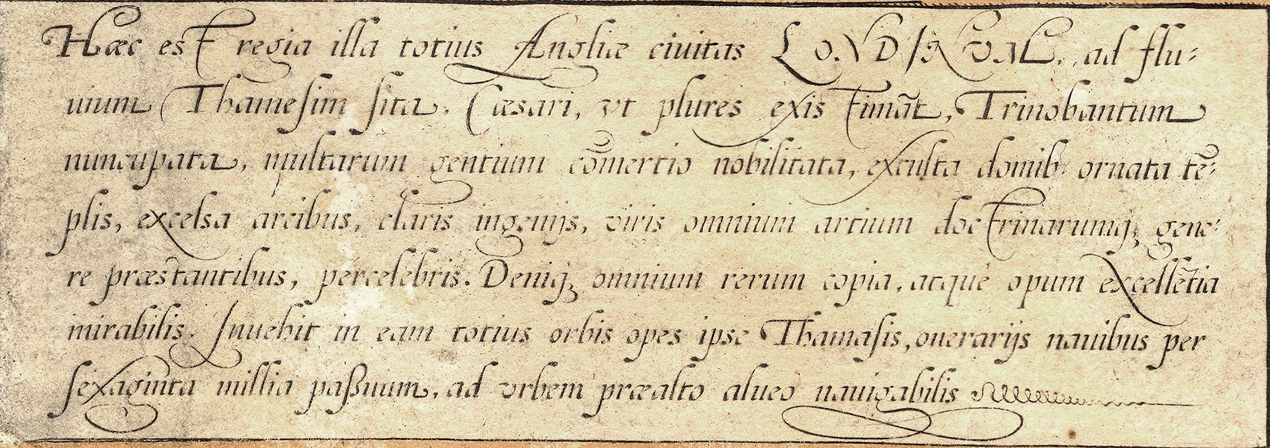
Jansson’s edition replaces the original foreground costume figures with the ornate title cartouche reading Londinum vulgo London. The royal arms and the arms of the City remain above the map, balancing the decorative lettering and text panels below.
Bankside and the Hanseatic merchants
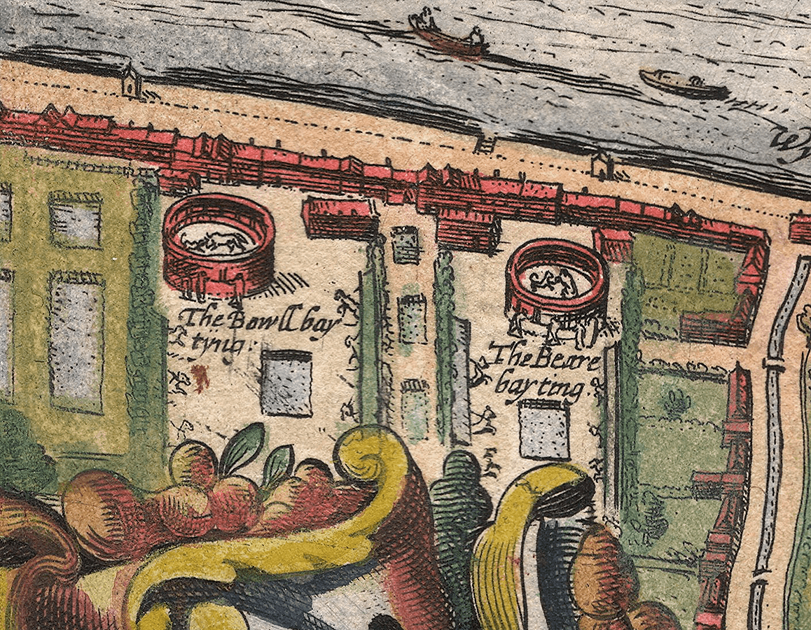
On the Southwark bank, two circular arenas are labelled for bull and bear baiting. These small illustrated details sit among gardens and open plots, contrasting with the tightly packed streets opposite.
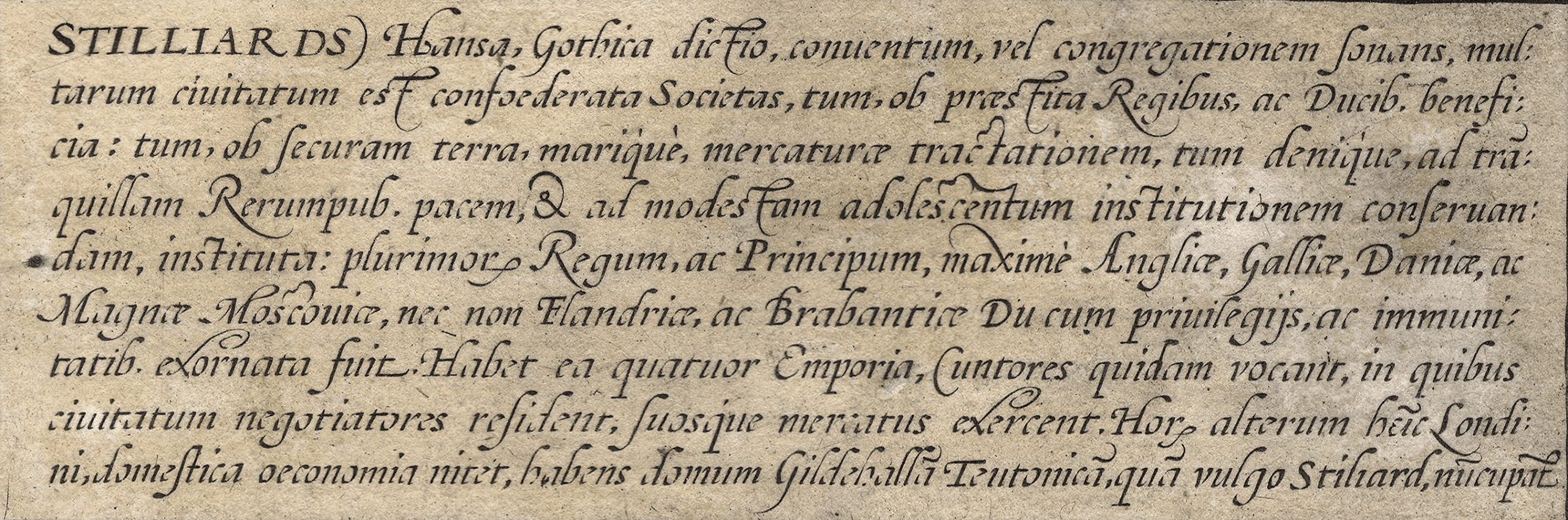
The lower-right Latin panel discusses the Hanseatic merchants and their London trading base, the Steelyard. Together with the river traffic, it draws attention to the commerce that connected London with ports across northern Europe.
Comparing the London editions
For the earlier presentation of this design, see our Braun and Hogenberg map of London, first published in 1572. The most immediate difference is at the foot of the sheet: the earlier version has figures in period dress, while this Jansson edition gives that space to its decorative London title. Choose between them for their presentation rather than expecting two independently surveyed cities.
This is a modern fine art reproduction of the historic map, not an original antique sheet. Printed on Bockingford® fine art paper and supplied unframed.