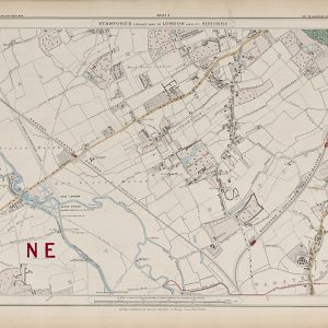
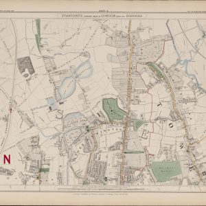
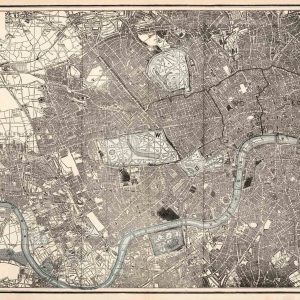
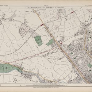
Reynolds’s 1862 plan was designed to make a growing London easier to navigate. Its quarter-mile squares allowed users to estimate distances across the city, while coloured landmarks, parks and the Thames helped them find their bearings among the closely packed streets.
Map Details
- Original title: Reynolds’s Map of Modern London Divided into Quarter-Mile Sections for Measuring Distances
- Publisher: James Reynolds, 174 Strand
- Edition: 1862
- Publication place: London
- Area shown: Central London and its surroundings, from Notting Hill towards the Isle of Dogs and from Kentish Town to Battersea Park
- Format: Street plan with a quarter-mile grid
- Orientation: North at the top
- Print image size: 24" × 36"
A practical map for visitors
The grid is a working feature of the original map, not a later decoration. Its regular squares provide a way to judge a journey across neighbourhoods where the streets rarely follow a regular pattern. Large postal district letters sit over the street network, showing another system used to organise the Victorian city.
Parks, railways and the river
Regent’s Park, Hyde Park and Battersea Park form conspicuous green spaces within the grey street plan. Railway lines enter the city from several directions, while the Thames links Westminster, the City and the docks. This combination makes the map useful for comparing London’s familiar geography with its nineteenth-century layout.
A changing waterfront
The plan includes a proposed embankment between Westminster Bridge and Blackfriars Bridge. It records an intended improvement as well as existing streets, so the waterfront should be read as a mixture of the city then and changes being planned. The fine art print reproduces the plan itself; the original guidebook and folding covers are not included.