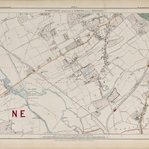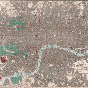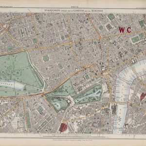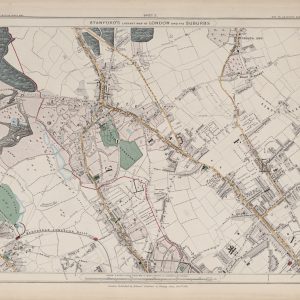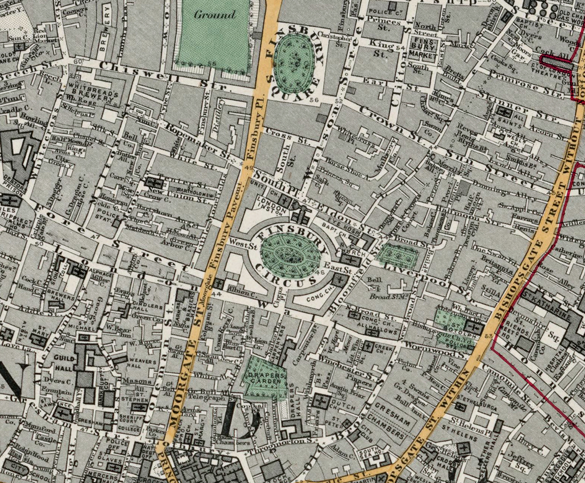
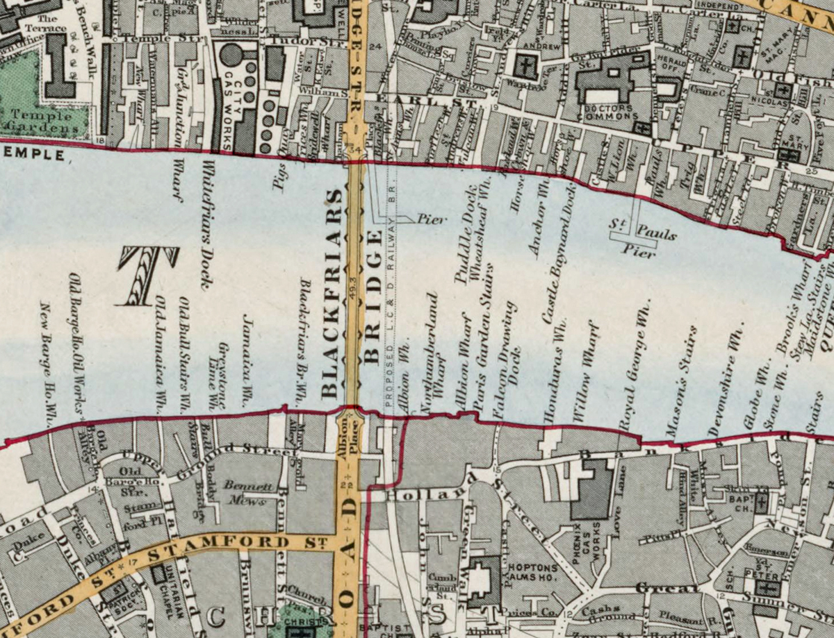
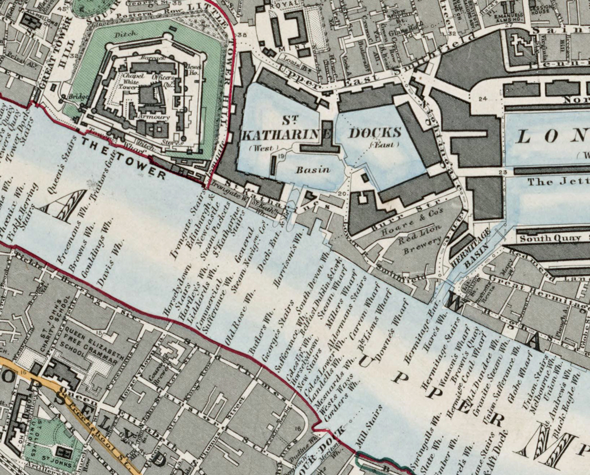
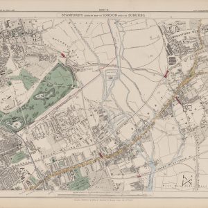
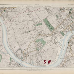

Sheet 11 of Stanford’s Library Map of London and Its Suburbs records the historic City and its eastern riverside in 1862, covering the City of London, Whitechapel, Wapping and the Thames waterfront. Dense streets, docks, wharves and major public buildings make this one of the most intricate sheets in the series.
Map Details
- Original title: Stanford’s Library Map of London and Its Suburbs
- Sheet: 11 of 24
- Publisher: Edward Stanford
- Published: London, 15 February 1862
- Scale: Six inches to one mile, approximately 1:10,560
- Area shown: City of London, Whitechapel, Wapping, the Thames waterfront and adjoining districts
- Orientation: North at the top
- Original appearance: Printed linework with hand-coloured roads, water, boundaries and open ground
The City of London and the Thames
The City is shown as a dense network of streets around St Paul’s Cathedral, the Bank, Royal Exchange and riverside wharves. London Bridge and Blackfriars Bridge connect the north bank with Southwark, while the Thames is crowded with commercial infrastructure.
Whitechapel, Wapping and the Docks
East of the City, Whitechapel and Wapping lead towards St Katharine Docks and the dockside districts beyond. Warehouses, dock basins, railways and tightly packed streets illustrate the importance of trade and transport to this part of Victorian London.
Postal and Administrative Detail
The prominent EC and E postal markings and coloured boundaries preserve the postal, parish and ward geography of the period.
Modern Postcode Coverage
The area shown broadly corresponds with parts of:
- EC1–EC4 – the City of London
- E1 – Whitechapel and Wapping
- SE1 – Southwark and Bankside along the southern edge
Modern postcode boundaries do not precisely follow the historic divisions shown on the map.