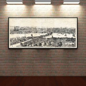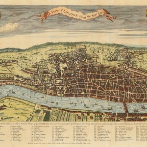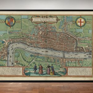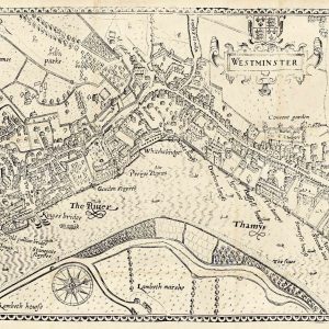

Frederick de Wit was one of the leading Dutch map publishers of the seventeenth century. His London map belongs to the period when Amsterdam was a major centre of European cartography and city plans circulated widely through atlases and as separate sheets.
Map Details
- Mapmaker / publisher: Frederick de Wit
- Date: traditionally dated 1693
- Place of publication: Amsterdam
- Map type: General plan of London
- Period: Late Stuart London
London After the Great Fire
The map shows a city transformed by rebuilding. The Great Fire of 1666 had devastated much of the old City, and the following decades saw streets, churches and public buildings reconstructed on a vast scale.
At the same time, London was expanding beyond the old walled core. Westminster was becoming increasingly important, while Southwark remained a distinct urban district across the Thames.
The Thames and London Bridge
The river dominates the map’s geography. London Bridge links the two banks, and the long river frontage underlines the importance of waterborne trade, wharves and river transport to the city’s economy.
Frederick de Wit and Dutch Cartography
De Wit worked in Amsterdam, then one of Europe’s great centres of map publishing. His atlases and individual maps were sold internationally and became known for strong engraving, attractive presentation and broad geographical coverage.
Why This Map Is Historically Interesting
Seen alongside Tudor plans and eighteenth-century London maps, De Wit’s view captures an important intermediate stage: the rebuilt Stuart city before the dramatic Georgian expansion that followed.
Print size: approximately 24" × 28". Supplied unframed.