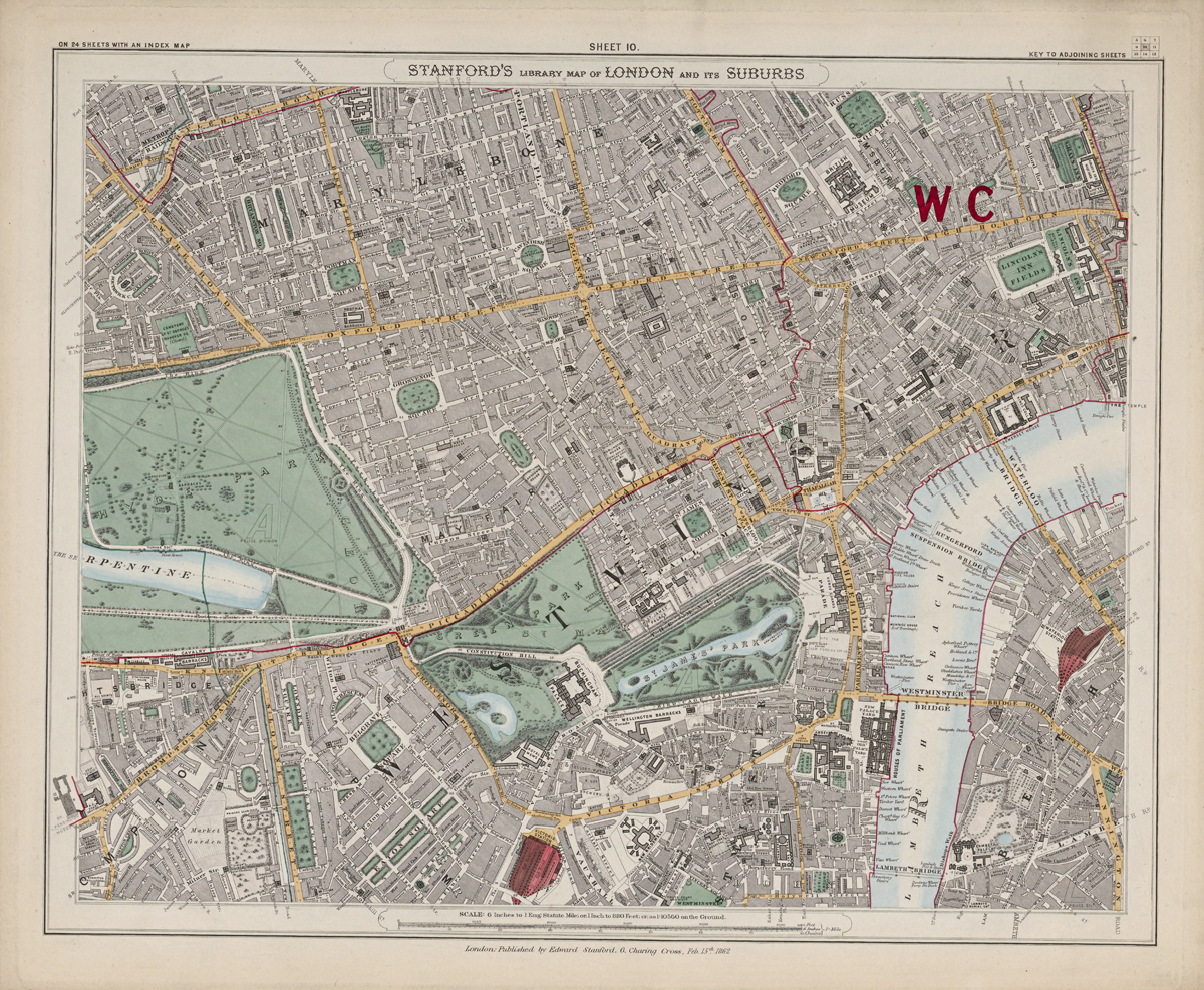
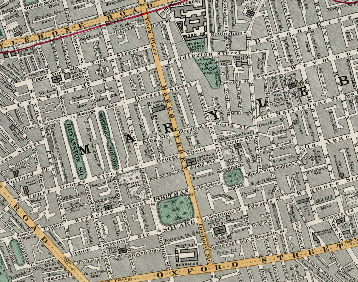
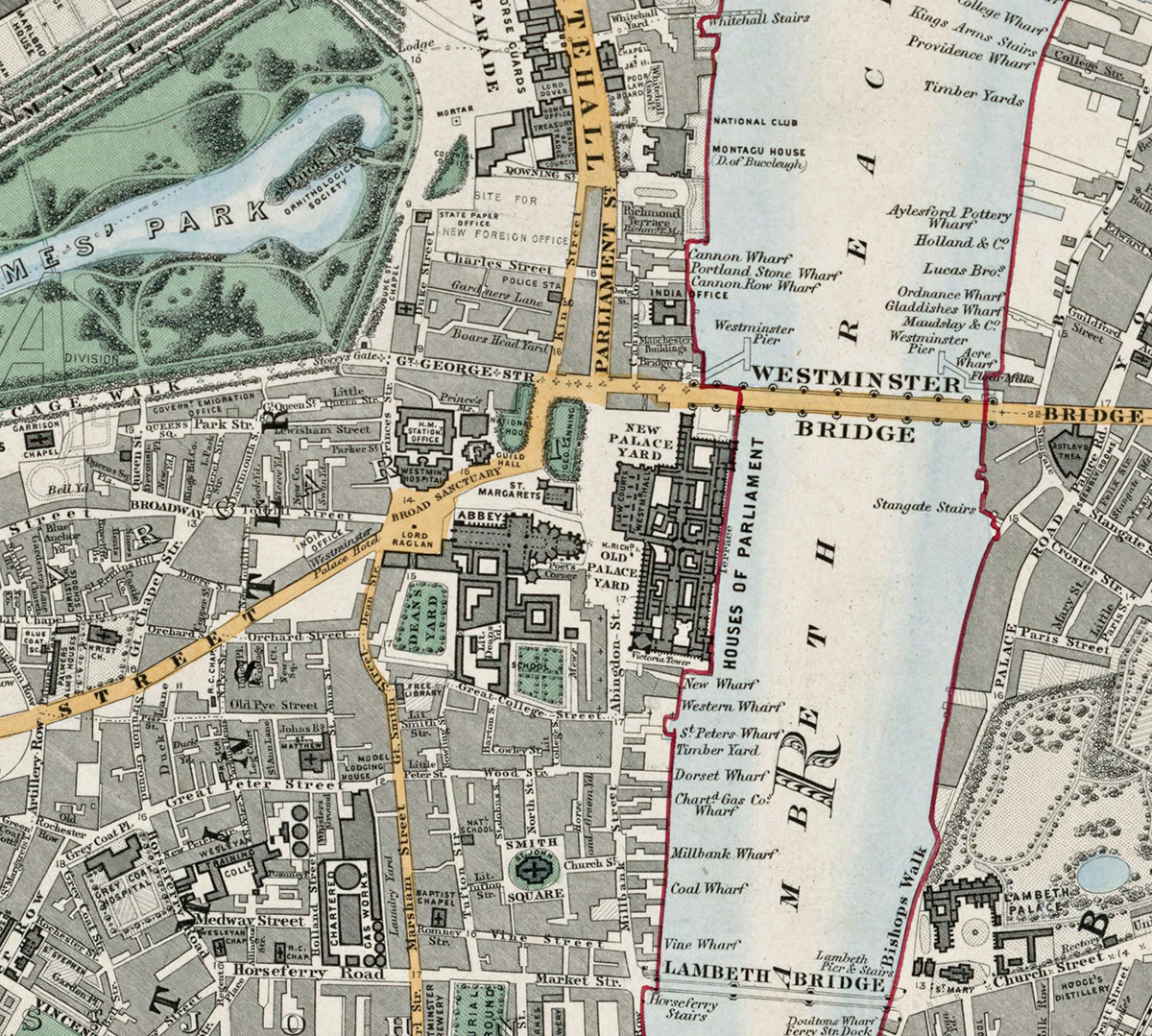
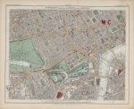
Sheet 10 of Stanford’s Library Map of London and Its Suburbs records the political and fashionable heart of London in 1862, covering Westminster, Mayfair, St James’s, Soho, Covent Garden and the Strand. It brings together royal parks, government buildings, theatres, squares and some of the capital’s best-known streets.
Map Details
- Original title: Stanford’s Library Map of London and Its Suburbs
- Sheet: 10 of 24
- Publisher: Edward Stanford
- Published: London, 15 February 1862
- Scale: Six inches to one mile, approximately 1:10,560
- Area shown: Westminster, Mayfair, St James’s, Soho, Covent Garden, the Strand and adjoining districts
- Orientation: North at the top
- Original appearance: Printed linework with hand-coloured roads, water, boundaries and open ground
Westminster, Mayfair and St James’s
The Palace of Westminster, Whitehall and the government quarter occupy the southern part of the sheet, while Mayfair and St James’s show their characteristic network of grand squares, terraces and principal streets. Green Park and St James’s Park provide strong open-space contrasts within this densely built central area.
The West End and the Thames
Soho, Covent Garden and the Strand appear as a close street network leading towards the City, while the Thames and Westminster Bridge define the southern edge. The map predates several later street improvements, preserving the older Victorian layout of central London.
Postal and Administrative Detail
Postal district lettering and coloured boundary lines belong to the original map and record the administrative geography of central London before the modern borough system.
Modern Postcode Coverage
The area shown broadly corresponds with parts of:
- W1 – Mayfair and Soho
- WC2 – Covent Garden and the Strand
- SW1 – Westminster and St James’s
- WC1 – the northern edge around Bloomsbury
Modern postcode boundaries do not precisely follow the historic divisions shown on the map.