


VIEW AN INDEX OF THE FULL SERIES HERE
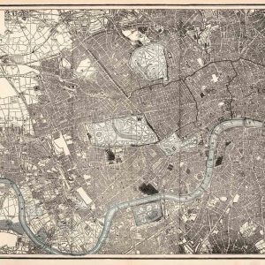
The Old London Map Company are pleased to offer this fine art reproduction sympathetically enhanced and digitalised from the original to a standard equalling museum quality. This map was originally published by Edward Stanford in 1872. Like the other sheets in the series, it originally formed part of a 24-sheet large-scale map depicting London and its surroundings during the late Victorian era. Now produced in individual editions so you can enjoy a finished piece featuring the particular area of interest within Victorian London.
Overview
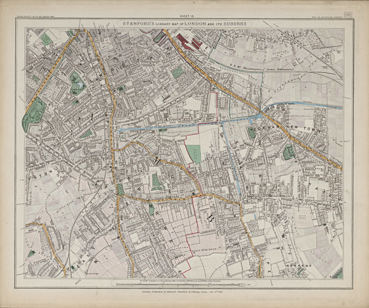
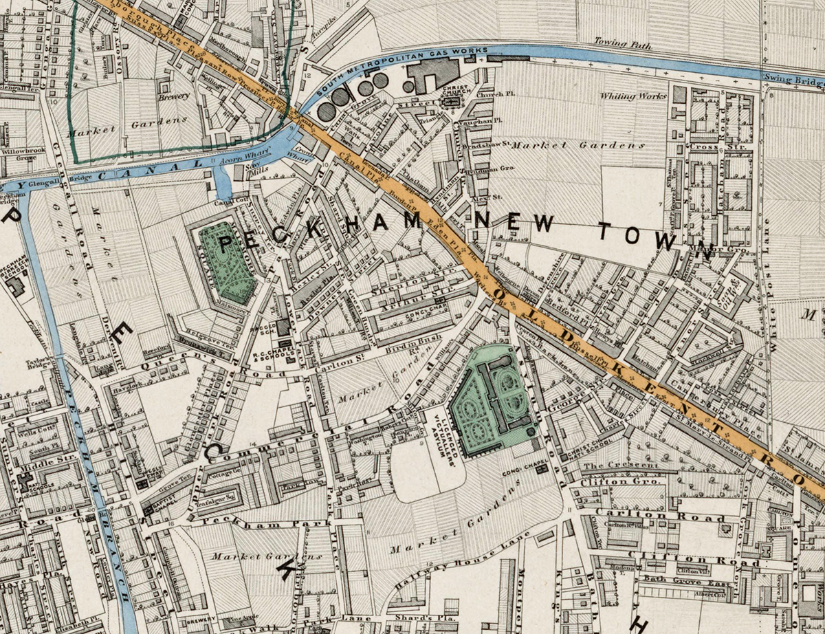
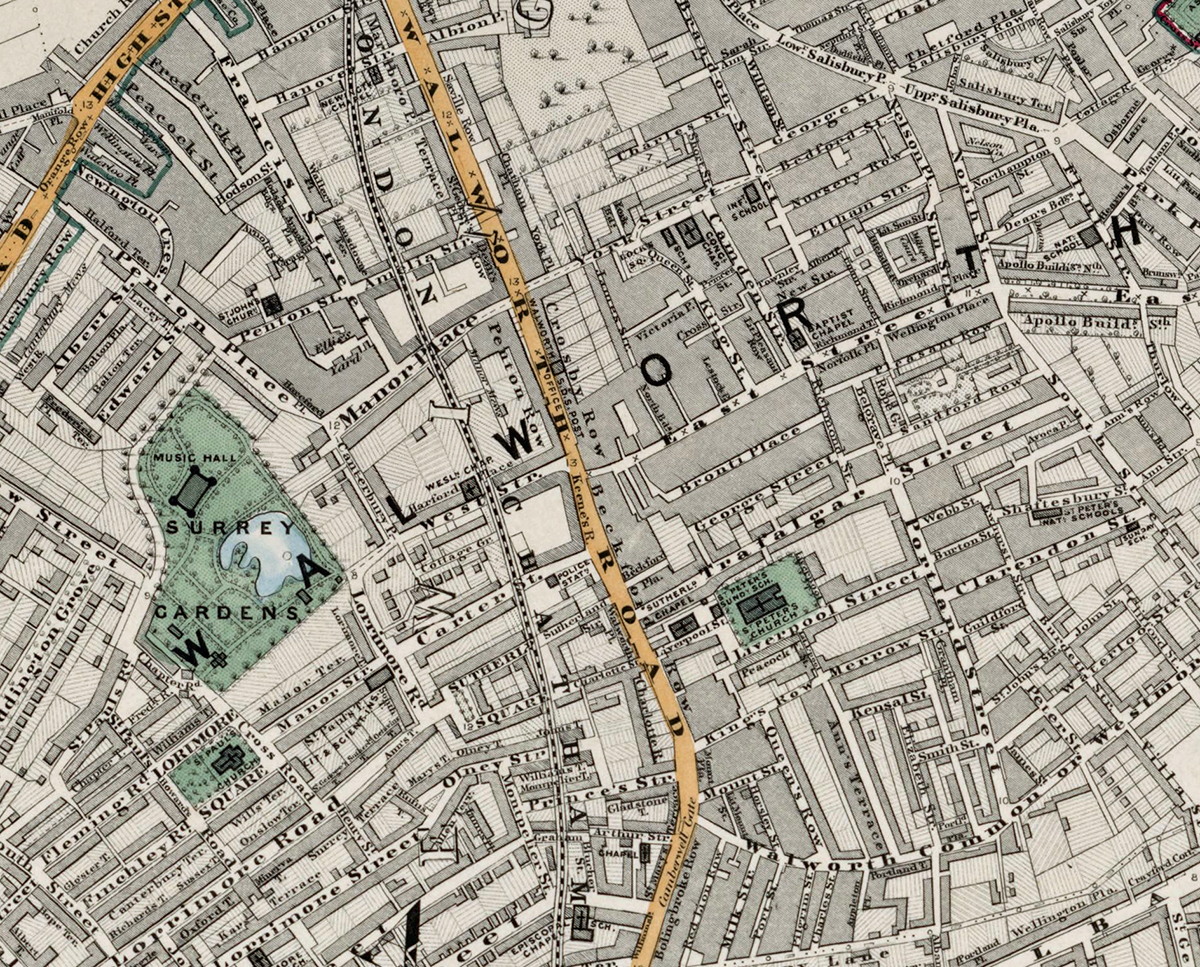
Sheet 15 shows the area of south-east London that includes Peckham, Camberwell, New Cross, and parts of Nunhead and Brockley. In the early 1870s these districts were undergoing rapid suburban development, transitioning from semi-rural villages and farmland to residential neighbourhoods connected to the expanding railway network.
Cartographic Details
- Fine engraved line work with subtle hand colouring typical of Stanford’s high-quality cartography.
• Railways such as the South Eastern Railway (Bricklayers’ Arms Extension) are clearly marked.
• Parks, commons, and key civic buildings are highlighted in green and red for easy recognition.
Administrative and Postal Features
- The sheet falls mainly within the South Eastern (SE) postal district, part of the mid-19th-century postal reforms.
• Red boundary lines show parishes and early district divisions before the formation of modern boroughs.
Original Size
The complete Stanford’s Library Map measured about 9 × 12 feet (approximately 2.7 × 3.7 m) when all 24 sheets were assembled. Each individual sheet, including Sheet 1, was printed on paper roughly 18 × 24 inches (about 46 × 61 cm) which we supply as our Medium size but due to the quality of our scanning process we are also able to offer a larger edition at 24 x 29 inches (about 61 × 73.5 cm) printed on conservation grade paper.
Modern Postcode Coverage
Today, this part of south-east London is covered by several modern Royal Mail postcode districts:
• SE5 – Camberwell
• SE15 – Peckham, Nunhead
• SE14 – New Cross
• SE4 – Brockley (eastern edge)
• SE22 – East Dulwich (western margin)
• SE1 – Bermondsey (north-west fringe)
Twenty Major Places Shown on the Map
Notable locations visible include:
1. Peckham Rye Common
2. Nunhead Cemetery
3. Camberwell Green
4. New Cross Station
5. Bricklayers’ Arms Goods Depot
6. South London Botanical Gardens (Camberwell)
7. St Giles’ Church, Camberwell
8. St Mary Magdalene Church, Peckham
9. Peckham High Street Market area
10. Queen’s Road Station (Peckham)
11. Peckham Rye Station
12. Surrey Canal (Grand Surrey Canal)
13. Deptford New Town (northern edge)
14. Telegraph Hill
15. Brockley Cemetery (edge of sheet)
16. Old Kent Road (northern border landmarks)
17. Goldsmiths’ College (future site marked as New Cross area)
18. Haberdashers’ Aske’s School grounds
19. Goose Green (western corner)
20. Rye Lane commercial district
Twenty Major Roads and Thoroughfares Shown
Prominent streets and routes include:
1. Old Kent Road
2. Queens Road
3. Peckham High Street
4. Rye Lane
5. Camberwell New Road
6. Camberwell Church Street
7. Denmark Hill (western edge)
8. Southampton Way
9. Nunhead Lane
10. Peckham Rye East and West
11. Evelina Road
12. Brockley Road (eastern edge)
13. New Cross Road
14. Telegraph Hill Road
15. Albany Road
16. Consort Road
17. Lyndhurst Way
18. Bellenden Road
19. Peckham Park Road
20. Commercial Way
In summary, Sheet 15 captures a moment of transformation in south-east London, depicting the emerging suburbs, new railway links, and the remaining green spaces that characterised the area in the early 1870s.