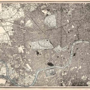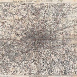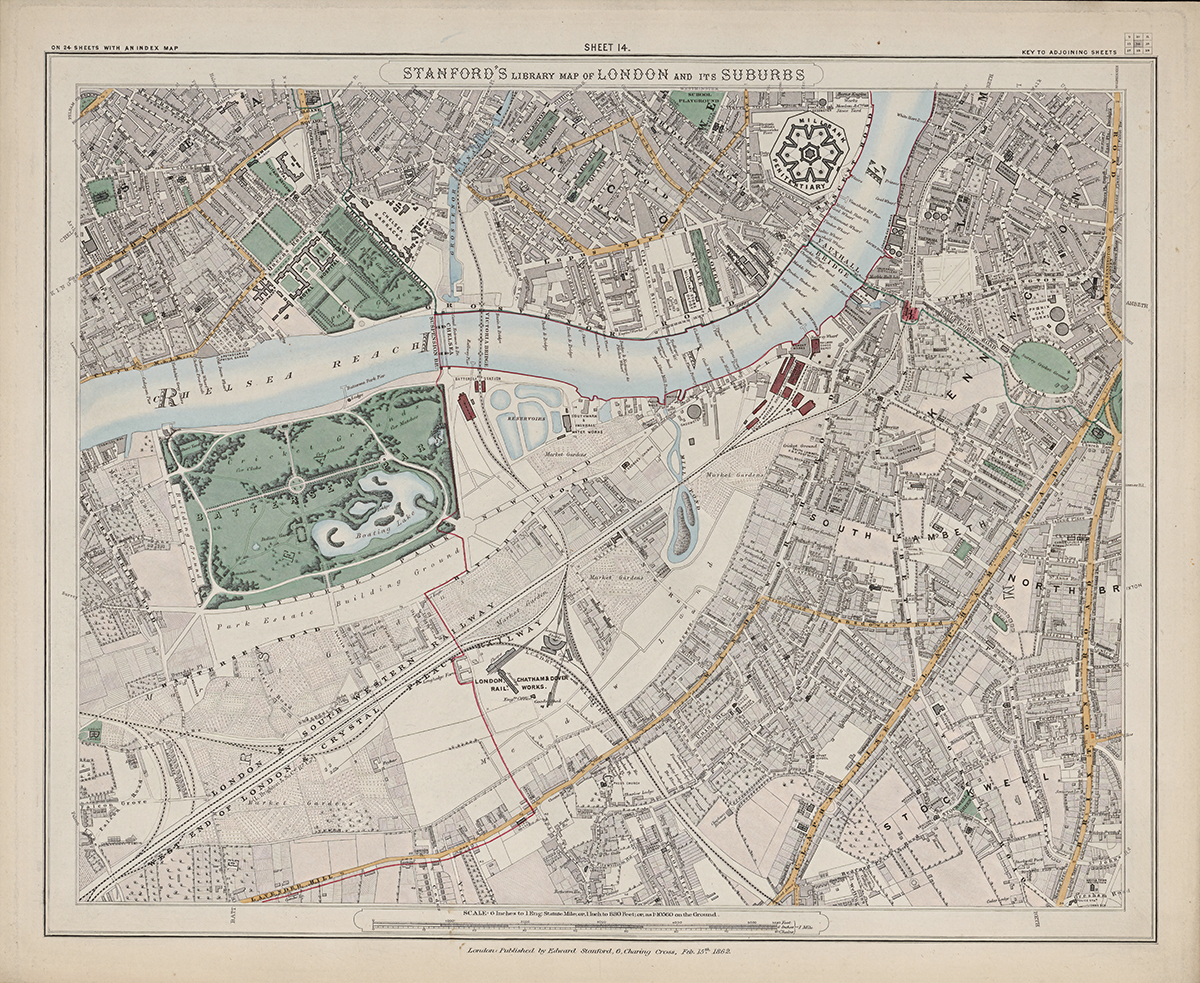
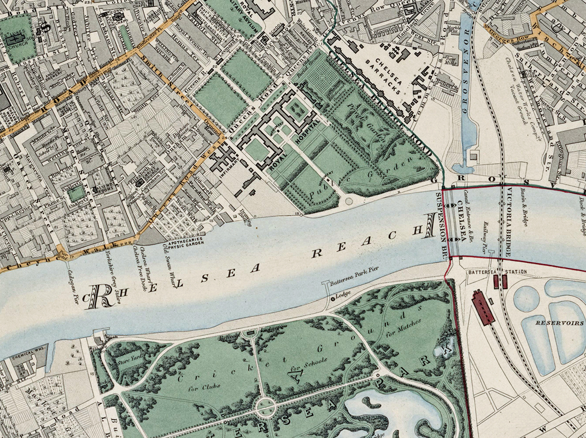
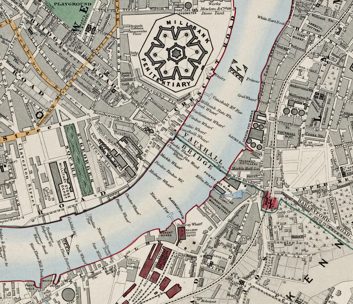


The Old London Map Company are pleased to offer this fine art reproduction sympathetically remastered and digitalised from the original to a standard equalling museum quality. This map was originally published by Edward Stanford in 1872 and details the area around Southwark. Like the other sheets in the series, it originally formed part of a 24-sheet large-scale map depicting London and its surroundings during the late Victorian era. Now produced in individual editions so you can enjoy a finished piece featuring the particular area of interest within Victorian London.
Original Size
The complete Stanford’s Library Map measured about 9 × 12 feet (approximately 2.7 × 3.7 m) when all 24 sheets were assembled. Each individual sheet, including Sheet 1, was printed on paper roughly 18 × 24 inches (about 46 × 61 cm) which we supply as our Medium size but due to the quality of our scanning process we are also able to offer a larger edition at 24 x 29 inches (about 61 × 73.5 cm) printed on paper roughly 18 × 24 inches (about 46 × 61 cm).