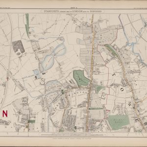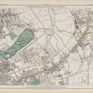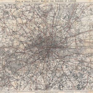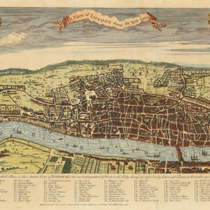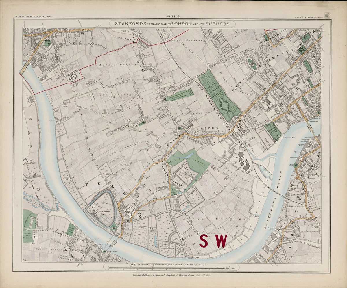
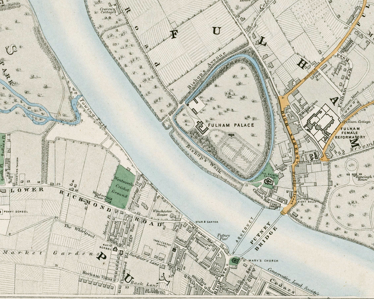
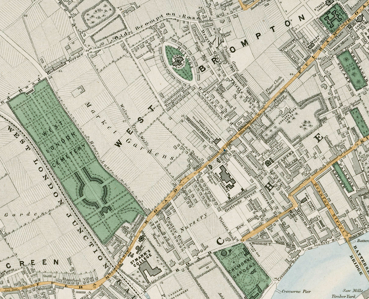
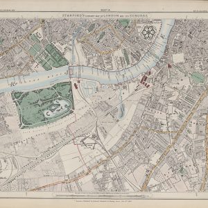
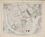
Sheet 13 of Stanford’s Library Map of London and Its Suburbs records south-west London in 1862, covering Fulham, Parsons Green, West Brompton and Chelsea. It shows a district where established villages and suburban streets still sit beside market gardens, fields and large areas of open ground.
Map Details
- Original title: Stanford’s Library Map of London and Its Suburbs
- Sheet: 13 of 24
- Publisher: Edward Stanford
- Published: London, 15 February 1862
- Scale: Six inches to one mile, approximately 1:10,560
- Area shown: Fulham, Parsons Green, West Brompton, Chelsea and adjoining Thames-side districts
- Orientation: North at the top
- Original appearance: Printed linework with hand-coloured roads, water, boundaries and open ground
Fulham, Parsons Green and Chelsea in 1862
Fulham and Parsons Green retain a noticeably open character, with gardens, fields and scattered development between older roads and settlement centres. Toward Chelsea and West Brompton, the street pattern becomes denser as London expands westward.
The Thames and Suburban Expansion
The Thames forms a defining feature of the sheet, alongside roads, riverside works and growing residential districts. The contrast between open ground and newly laid-out streets makes this map particularly useful for understanding the transformation of Victorian south-west London.
Postal and Administrative Detail
The large red SW and coloured boundary lines belong to the original map and record the South Western postal district and parish divisions of the period.
Modern Postcode Coverage
The area shown broadly corresponds with parts of:
- SW6 – Fulham and Parsons Green
- SW10 – West Brompton and western Chelsea
- SW3 – Chelsea along the eastern edge
- W14 – the northern edge around West Kensington
Modern postcode boundaries do not precisely follow the historic divisions shown on the map.