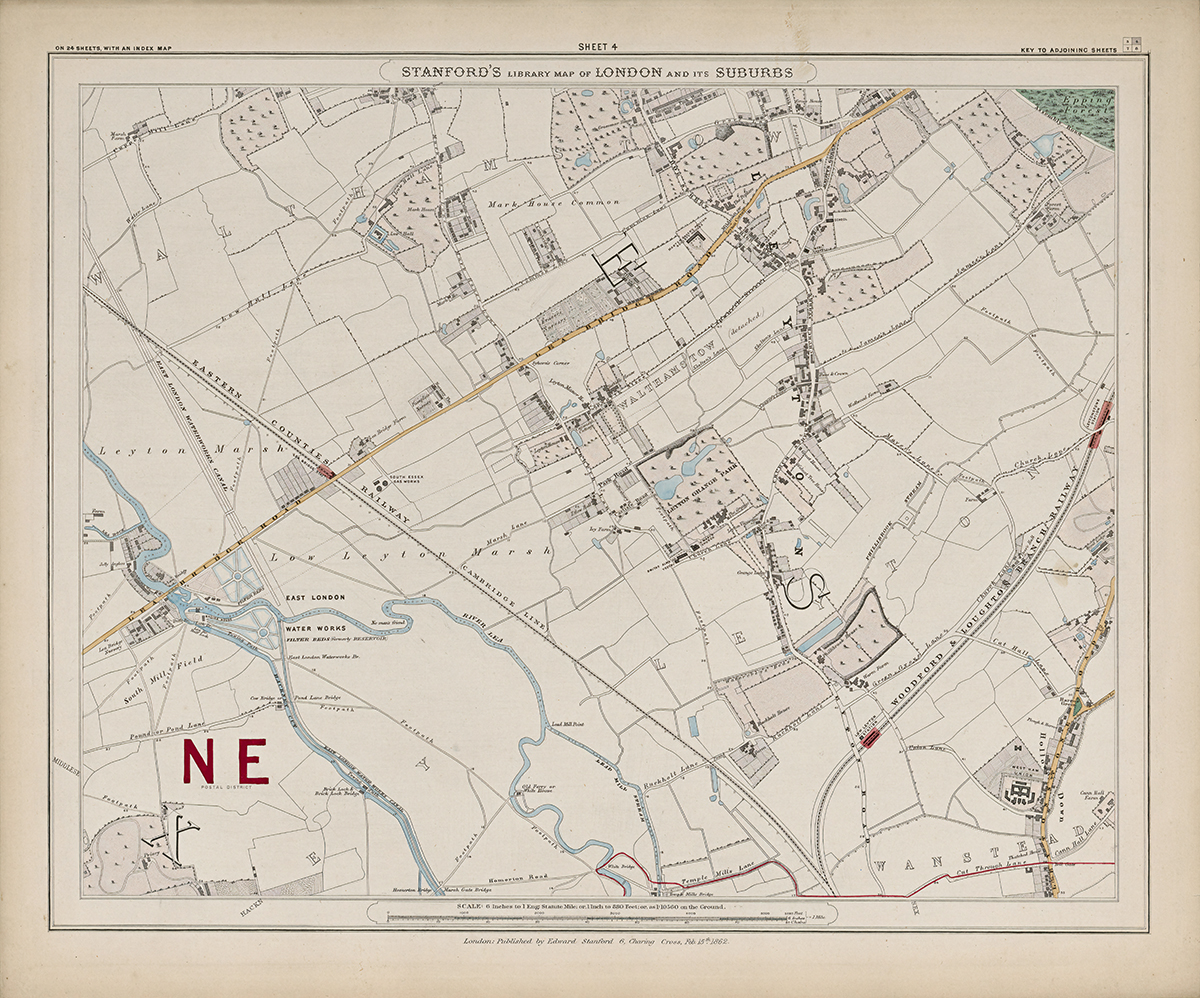
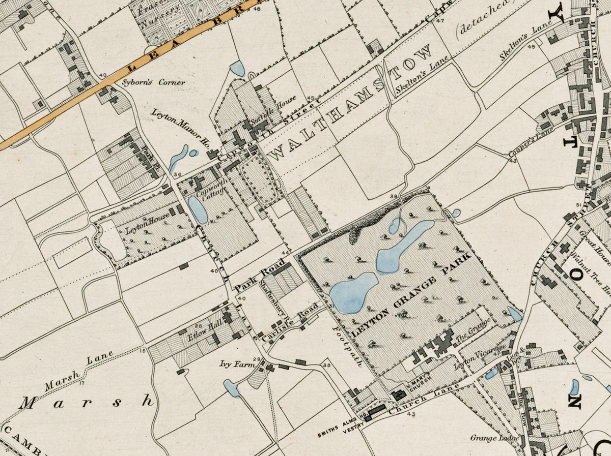
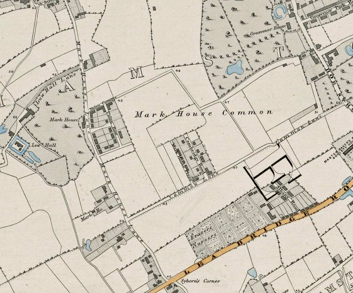
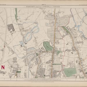
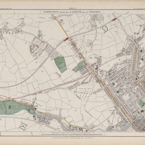
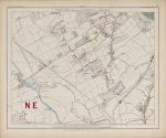
Sheet 4 of Stanford’s Library Map of London and Its Suburbs records the Lea Valley and the north-eastern edge of London in 1862, covering Walthamstow, Leyton, Wanstead and adjoining districts. It preserves a landscape where villages, farmland, marshes, reservoirs and early industry still dominate much of the area before later Victorian expansion transformed east and north-east London.
Map Details
- Original title: Stanford’s Library Map of London and Its Suburbs
- Sheet: 4 of 24
- Publisher: Edward Stanford
- Published: London, 15 February 1862
- Scale: Six inches to one mile, approximately 1:10,560
- Area shown: Walthamstow, Leyton, Wanstead, the Lea Valley and adjoining districts
- Orientation: North at the top
- Original appearance: Printed linework with hand-coloured roads, water, boundaries and open ground
Walthamstow, Leyton and the Lea Valley in 1862
Walthamstow and Leyton appear as distinct settlements surrounded by open fields, commons and marshy ground. The contrast with the much denser London that would develop here over the following decades is one of the most striking features of the sheet.
The River Lea, associated channels, reservoirs and waterworks dominate the western side of the map. These waterways were already essential to London’s water supply and would become increasingly important as the capital expanded.
Railways, Roads and Early Industry
Railway lines and principal roads cut through a largely open landscape, linking the villages of the Lea Valley with the growing metropolis. Scattered industrial sites, waterworks and transport infrastructure hint at the changes that were beginning to reshape the district.
Postal and Administrative Detail
The bold red NE belongs to the original map and identifies the North Eastern postal district. Red boundary lines also record the parish and local divisions of the period, before the creation of the modern London boroughs.
Modern Postcode Coverage
The area shown broadly corresponds with parts of:
- E10 – Leyton
- E11 – Leytonstone and Wanstead
- E17 – Walthamstow
- E15 – Stratford, along the southern edge
- E20 – the southern Lea Valley and Olympic Park area
- IG1 / IG2 – parts of Ilford along the eastern edge
Modern postcode boundaries do not precisely follow the historic divisions shown on the map.