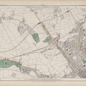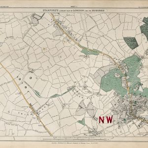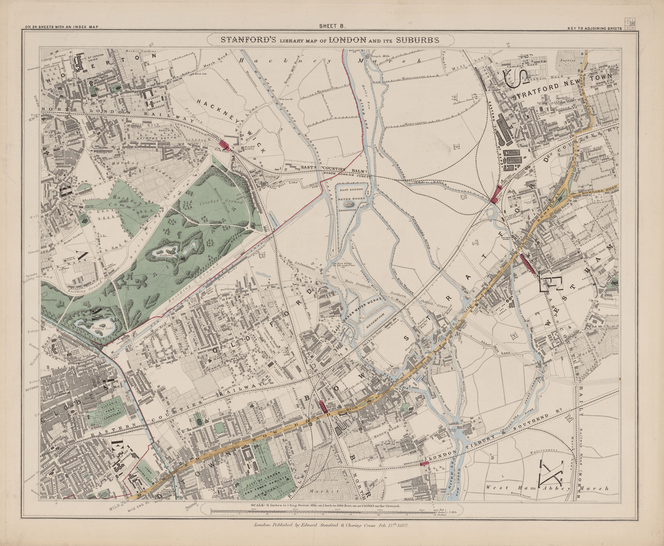
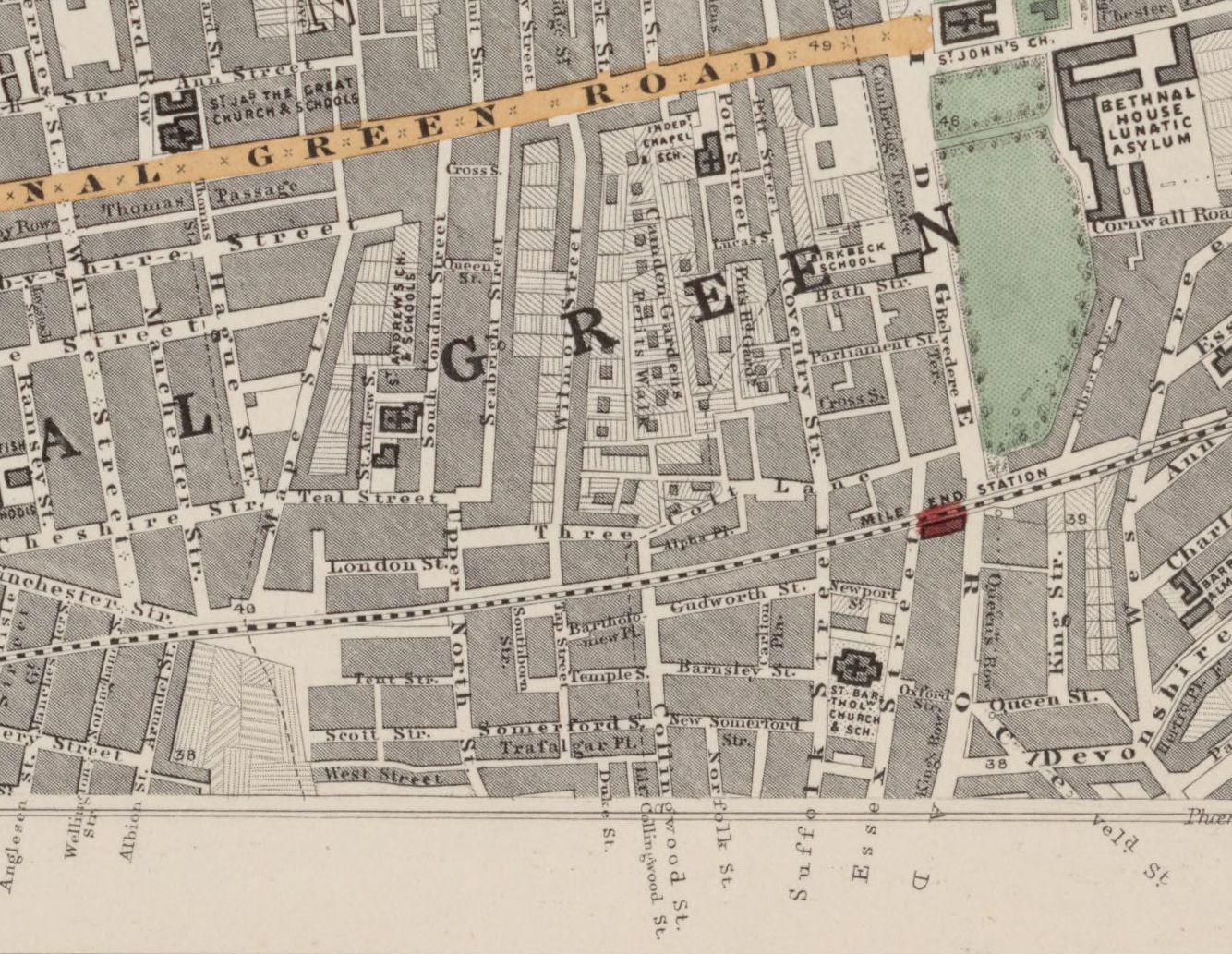
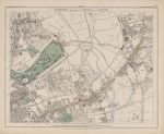
Sheet 7 of Stanford’s Library Map of London and Its Suburbs records the districts north-east of the City in 1862, including Canonbury, Hoxton, Haggerston, Bethnal Green and adjoining parts of Shoreditch. It captures a densely settled area of Victorian London in which older roads and parish boundaries are overlaid by expanding streets, railway lines and pockets of remaining open ground.
Map Details
- Original title: Stanford’s Library Map of London and Its Suburbs
- Sheet: 7 of 24
- Publisher: Edward Stanford
- Published: London, 15 February 1862
- Scale: Six inches to one mile, approximately 1:10,560
- Area shown: Canonbury, Hoxton, Haggerston, Bethnal Green, Shoreditch and adjoining districts
- Orientation: North at the top
- Original appearance: Printed linework with hand-coloured roads, water, boundaries and open ground
Canonbury, Hoxton and Bethnal Green in 1862
The sheet spans a striking transition from the more spacious streets and gardens around Canonbury to the increasingly dense development of Hoxton, Shoreditch and Bethnal Green. Rows of houses, courts, workshops and local institutions form a close urban pattern, while surviving open areas and larger grounds show how unevenly development had spread.
Bethnal Green is especially detailed, with its network of streets and parish divisions clearly shown. Farther west, Hoxton and Shoreditch reveal the dense grain of inner north-east London before later redevelopment altered many of the smaller streets and courts.
Railways and Urban Expansion
Railway lines and associated infrastructure cut through the established street pattern, illustrating the growing importance of rail transport in Victorian London. Their presence alongside older roads and parish boundaries makes the map particularly useful for understanding how nineteenth-century expansion reshaped this part of the capital.
Postal and Administrative Detail
The sheet preserves the postal and parish geography of the period, including coloured boundary lines marking local divisions that pre-date the modern borough system.
Modern Postcode Coverage
The area shown broadly corresponds with parts of:
- N1 – Canonbury, Hoxton and parts of Islington
- E2 – Bethnal Green and Haggerston
- E1 – Shoreditch and the southern edge of Bethnal Green
- E8 – Haggerston and the north-eastern edge
Modern postcode boundaries do not precisely follow the historic divisions shown on the map.