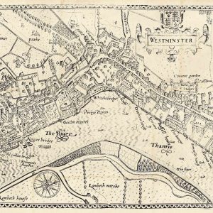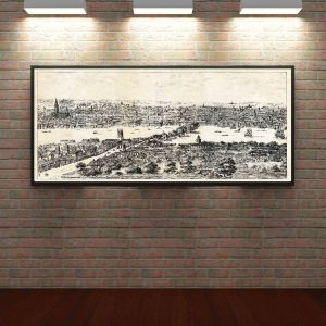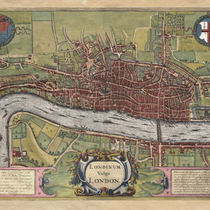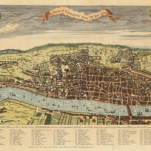


The so-called Agas Map, often titled Civitas Londinum, is among the most celebrated early plans of London. Although traditionally attributed to Ralph Agas and often described as a sixteenth-century map, the surviving woodcut edition is generally understood to derive from an earlier Tudor survey and to have been issued in the early seventeenth century.
Map Details
- Traditional name: The Agas Map of London
- Traditional attribution: Ralph Agas
- Date: Derived from a Tudor survey; surviving woodcut edition usually dated to the early 1600s
- Map type: Large bird’s-eye plan of London
- Coverage: Westminster, the City of London, the Tower and Southwark
London Before the Great Fire
The map preserves the capital before the rebuilding that followed the Great Fire of 1666. The medieval street pattern is still dominant, with the old walls and gates enclosing the historic City and numerous churches packed into the dense urban fabric.
Old St Paul’s Cathedral rises above the centre, while the Tower of London marks the eastern edge. London Bridge remains the principal fixed crossing of the Thames and is shown lined with buildings.
Fields, Gardens and the Edge of the City
One of the most revealing aspects is the abrupt transition from dense streets to open land. Fields, gardens and lanes lie immediately beyond the built-up area, showing just how compact London still was compared with the modern metropolis.
A Key Source for Tudor London
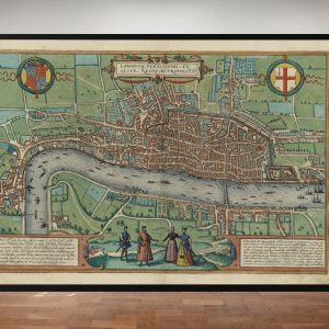
The map is closely related to the great mid-sixteenth-century survey tradition represented by the surviving Copperplate fragments and the Braun and Hogenberg view. Together these images form the foundation of our visual understanding of Tudor London.
The Agas Attribution
The familiar attribution to Ralph Agas has been questioned by modern researchers. The name remains useful because it is how the map has long been known, but the uncertainty surrounding its authorship and publication history should be treated as part of the map’s story rather than hidden.
Supplied unframed as a fine art print.