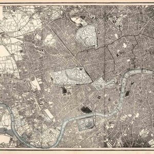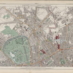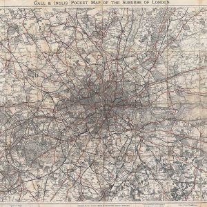

Edward Mogg’s 1820 map of London and the surrounding country is a striking example of early nineteenth-century travel cartography. Its circular design places the capital at the centre of a network of roads, towns and landscapes extending approximately twenty-four miles in every direction.
Map Details
- Cartographer / publisher: Edward Mogg
- Date: 1820
- Map type: Circular regional map centred on London
- Coverage: Approximately twenty-four miles around London
- Extent: Hertford to Reigate, Windsor to Gravesend
- Features: Roads, towns, villages, parks, woodland and principal buildings
London Before the Railway Age
The map belongs to the last great period when roads and coaching routes dominated travel around the capital. Railways had not yet begun to redraw the geography of the region, so the older road network remains the principal framework linking London with surrounding settlements.
A Circular View of the Home Counties
The circular format is both practical and visually unusual. By making London the centre point, the map emphasises distance and connection: routes spread outward toward Windsor, Hertford, Gravesend, Reigate and dozens of smaller places between them.
Edward Mogg and Travel Mapping
Mogg was well known for guides, road books and maps intended for travellers. His publications were part of a growing market for practical geographical information in the early nineteenth century, when coaching, turnpike roads and domestic travel were increasingly important.
A Landscape of Separate Towns and Villages
Many places shown around London would later be absorbed into the expanding metropolis, but in 1820 they remained distinct settlements surrounded by countryside. The map therefore records the wider London region immediately before nineteenth-century urban growth began to transform it.
Why This Map Stands Out
Its combination of broad geographical coverage and unusual circular design makes it one of the more distinctive London maps of the period. It is especially rewarding for anyone interested in road travel, Georgian London and the historic Home Counties.
Print size: approximately 24" × 26". Supplied unframed.