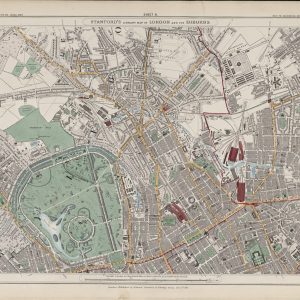
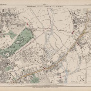
Sheet 8 of Stanford’s Library Map of London and Its Suburbs records the Lea Valley and the eastern approaches to London in 1862, covering Hackney Wick, Bow, Stratford, Homerton and adjoining districts. It shows an area where marshland, waterways and open ground were beginning to be transformed by railways, industry and rapidly expanding streets.
Map Details
- Original title: Stanford’s Library Map of London and Its Suburbs
- Sheet: 8 of 24
- Publisher: Edward Stanford
- Published: London, 15 February 1862
- Scale: Six inches to one mile, approximately 1:10,560
- Area shown: Hackney Wick, Bow, Stratford, Homerton, the Lea Valley and adjoining districts
- Orientation: North at the top
- Original appearance: Printed linework with hand-coloured roads, water, boundaries and open ground
Hackney Wick, Bow and Stratford in 1862
Hackney Wick and Homerton lie beside extensive open ground and marshes, while Bow and Stratford show a denser pattern of roads, buildings and developing industry. The contrast between these areas captures the changing character of east London before the later nineteenth-century building boom.
The River Lea and its associated channels form some of the most distinctive features of the sheet, with watercourses, marshland and low-lying ground clearly shown across the valley.
Railways, Waterways and Industrial Growth
Multiple railway lines converge around Stratford, already establishing the district as an important transport centre. Together with the Lea Navigation and other waterways, these routes helped drive the industrial expansion that would reshape the area during the decades that followed.
Postal and Administrative Detail
The map preserves the postal and parish geography of the period, with coloured boundary lines marking divisions that pre-date the modern London boroughs.
Modern Postcode Coverage
The area shown broadly corresponds with parts of:
- E9 – Hackney Wick and Homerton
- E3 – Bow
- E15 – Stratford and Maryland
- E20 – Queen Elizabeth Olympic Park and the surrounding Lea Valley
- E5 – the southern edge of Upper Clapton
Modern postcode boundaries do not precisely follow the historic divisions shown on the map.