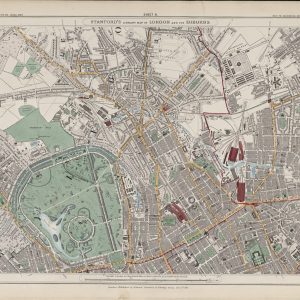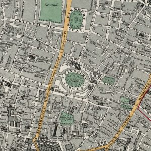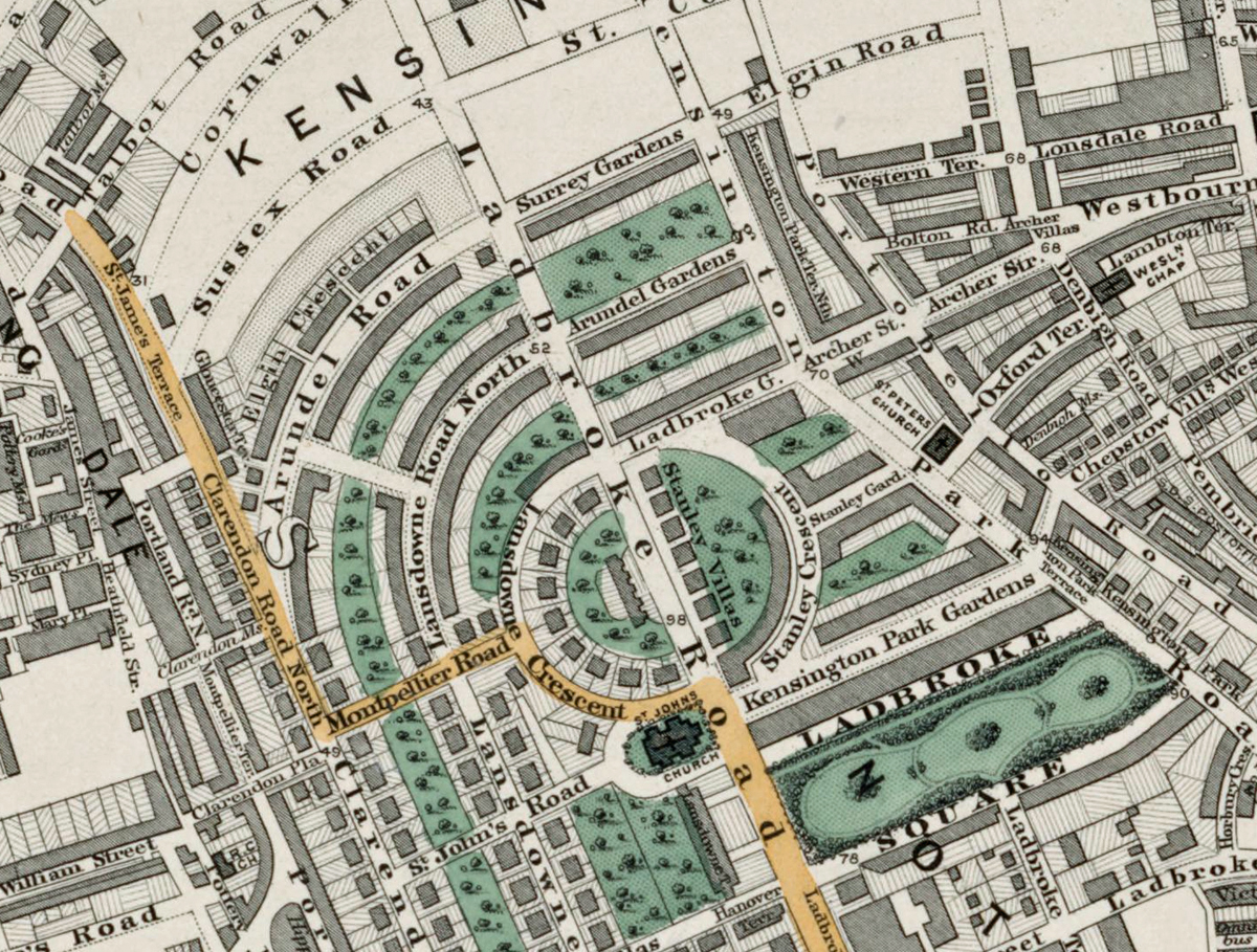
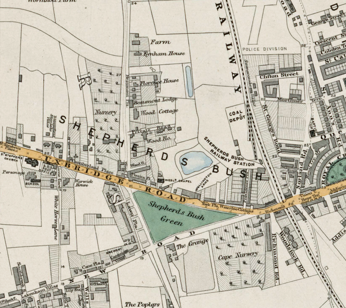
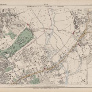
Sheet 9 of Stanford’s Library Map of London and Its Suburbs records west London in 1862, covering Kensington, Notting Hill, Shepherd’s Bush, Bayswater and Holland Park. The sheet captures a district changing rapidly from estates and open ground into terraces, garden squares and increasingly connected suburbs.
Map Details
- Original title: Stanford’s Library Map of London and Its Suburbs
- Sheet: 9 of 24
- Publisher: Edward Stanford
- Published: London, 15 February 1862
- Scale: Six inches to one mile, approximately 1:10,560
- Area shown: Kensington, Notting Hill, Shepherd’s Bush, Bayswater, Holland Park and adjoining districts
- Orientation: North at the top
- Original appearance: Printed linework with hand-coloured roads, water, boundaries and open ground
Kensington, Notting Hill and Shepherd’s Bush in 1862
Kensington and Bayswater already display dense streets and formal squares, while farther west around Shepherd’s Bush the pattern is more open. Notting Hill and Holland Park sit between these two landscapes, with new residential development spreading through former estate land.
Parks, Roads and Early Railways
Kensington Gardens and the western edge of Hyde Park form major landmarks, while railway lines and principal roads reveal the transport links that were helping drive suburban growth. The map is especially useful for comparing the established West End fringe with the less developed ground farther west.
Postal and Administrative Detail
The large red W belongs to the original map and identifies the Western postal district. Coloured boundary lines also preserve parish and local divisions from before the modern borough system.
Modern Postcode Coverage
The area shown broadly corresponds with parts of:
- W8 – Kensington
- W11 – Notting Hill
- W12 – Shepherd’s Bush
- W2 – Bayswater
- W14 – West Kensington and Holland Park
Modern postcode boundaries do not precisely follow the historic divisions shown on the map.