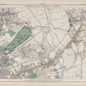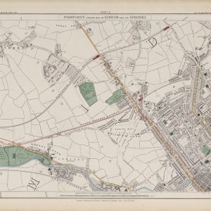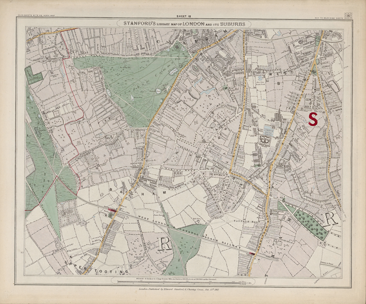
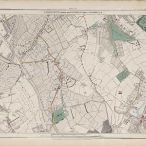
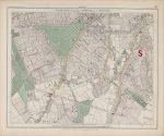
Sheet 18 of Stanford’s Library Map of London and Its Suburbs records the southern suburbs in 1862, covering Clapham, Balham and Tooting. The sheet shows established villages and growing streets surrounded by commons, fields and large areas of open ground.
Map Details
- Original title: Stanford’s Library Map of London and Its Suburbs
- Sheet: 18 of 24
- Publisher: Edward Stanford
- Published: London, 15 February 1862
- Scale: Six inches to one mile, approximately 1:10,560
- Area shown: Clapham, Balham, Tooting and adjoining districts
- Orientation: North at the top
- Original appearance: Printed linework with hand-coloured roads, water, boundaries and open ground
Clapham, Balham and Tooting in 1862
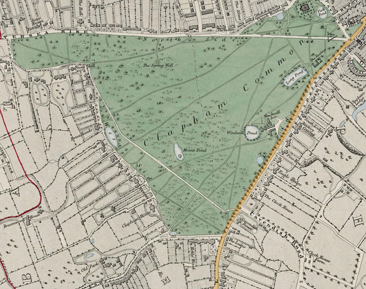
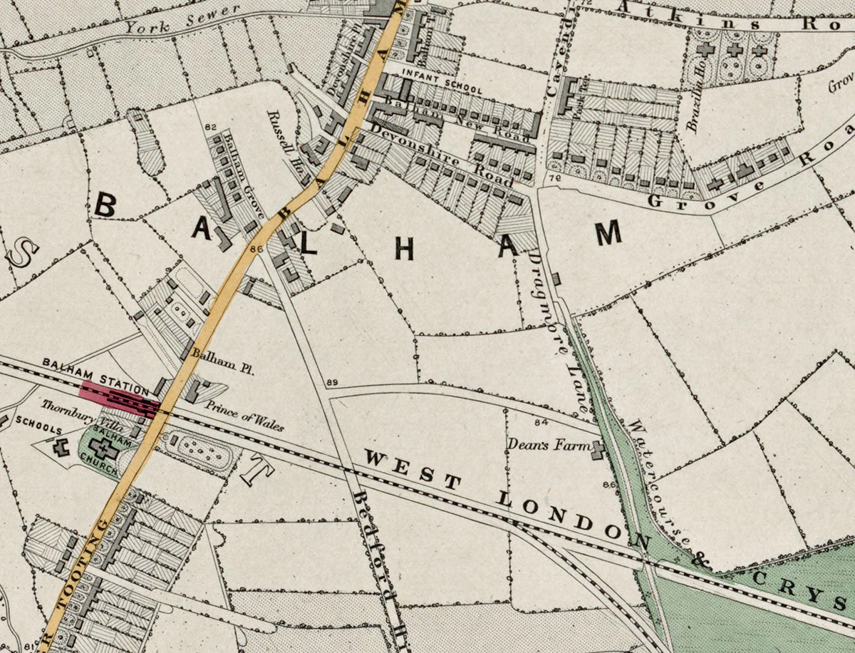
Clapham is the most developed part of the sheet, centred on its common and established road network. Balham and Tooting retain a far more open character, with fields, lanes and scattered buildings between the older settlement centres.
Commons, Railways and Suburban Growth
Clapham Common and Tooting Common are major landmarks, while railway lines already cut through the district. These connections would become powerful drivers of the suburban development that transformed south London later in the century.
Postal and Administrative Detail
The map preserves the South Western and South Eastern postal geography of the period, together with coloured parish boundaries.
Modern Postcode Coverage
The area shown broadly corresponds with parts of:
- SW4 – Clapham
- SW12 – Balham
- SW17 – Tooting
- SW16 – the southern edge towards Streatham
Modern postcode boundaries do not precisely follow the historic divisions shown on the map.