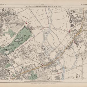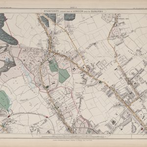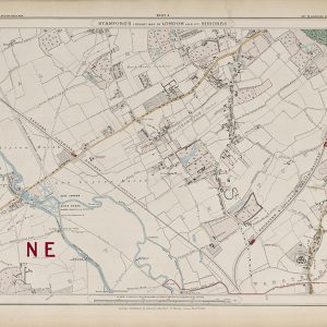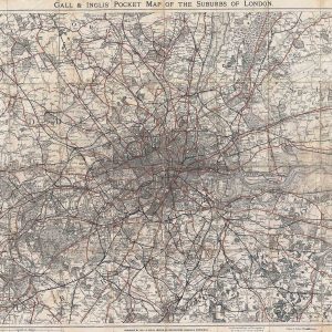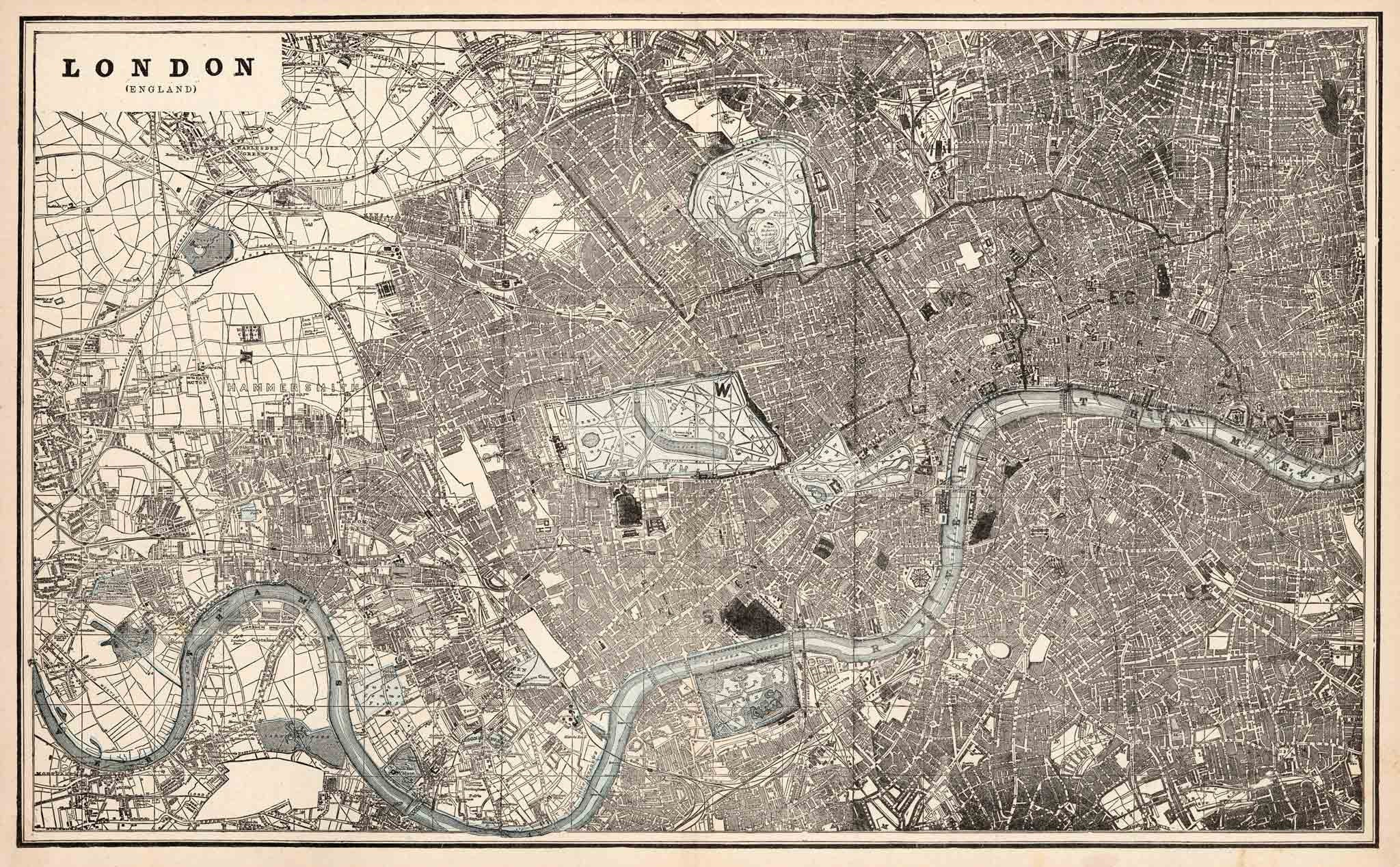
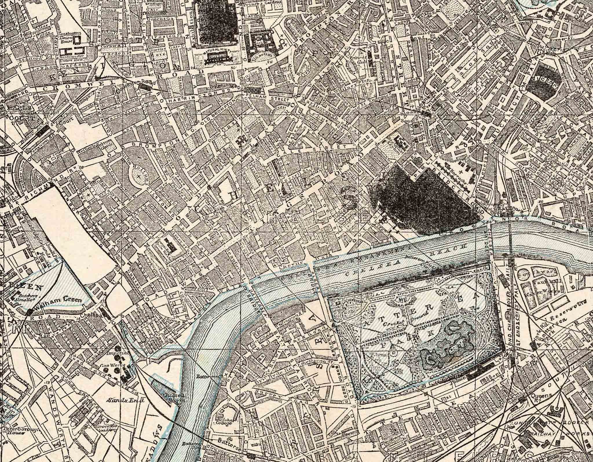


Published in 1893, George F. Cram’s map of London records the capital near the end of Queen Victoria’s reign, after decades of extraordinary physical and technological change.
Map Details
- Mapmaker / publisher: George F. Cram
- Date: 1893
- Place of publication: Chicago
- Map type: Atlas map of metropolitan London
- Features shown: Streets, principal buildings, parks, monuments, railways and underground lines
London in 1893
The city shown here is radically different from the compact Georgian London depicted on maps from the beginning of the century. By the 1890s continuous development stretched far beyond the old City and Westminster, and once-separate villages had become integrated into a vast urban region.
Large parks such as Hyde Park and Regent’s Park stand out clearly against the dense surrounding streets, while the Thames continues to organise the geography of the capital from west to east.
Railways and the Underground City
Transport is among the most historically revealing features. The great nineteenth-century main-line railways terminate around central London, while suburban lines spread outward through the growing metropolis. Underground railways add another layer to the network and show how London was developing a new kind of transport geography beneath its streets.
This is particularly significant for a map dated 1893: the Underground was still evolving from its early cut-and-cover lines into the more extensive system that would define twentieth-century London.
George F. Cram and American Atlas Publishing
George Franklin Cram developed one of the best-known American map-publishing businesses of the period. After working with his uncle Rufus Blanchard, he took control of the business in 1869 and moved it to Chicago. Following the Great Chicago Fire, Cram rebuilt the firm and expanded into atlases, railway maps and reference cartography.
His atlases circulated widely, and the inclusion of a detailed London plan reflects the city’s international importance. Seen in that context, this is not merely a British city map but part of an American atlas tradition that presented London to a global readership.
A Snapshot of Late-Victorian London
The map’s appeal lies in its timing. It shows the capital after the railway age had transformed it, but before the motor car and twentieth-century redevelopment altered the city again. Streets, railways, parks and landmarks combine to create a dense portrait of London at the close of the nineteenth century.
Supplied unframed as a fine art print.