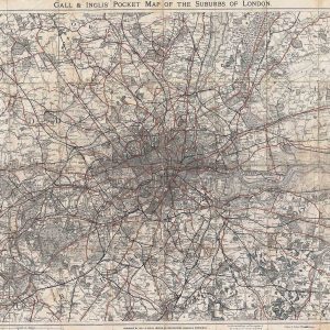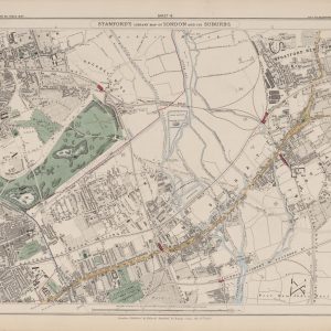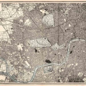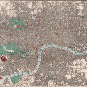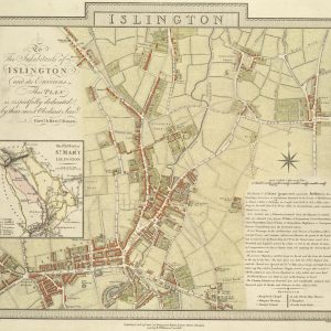


C. and J. Greenwood’s 1834 map presents London on a grand scale, combining streets, parishes, postal geography and transport features into a richly detailed survey of the capital during the reign of William IV.
Map Details
- Mapmakers: C. and J. Greenwood
- Date: 1834
- Dedication: King William IV
- Features: Streets, parishes, borough colouring, postal limits and early railway information
- Print size: approximately 58" × 40" (147 × 101 cm)
London Before Victoria
The map dates from only a few years before Queen Victoria came to the throne. London was already enormous by British standards, but it had not yet experienced the railway construction, suburbanisation and municipal changes that would transform the city after 1837.
The street network is therefore recognisably modern in places while still preserving the structure of an earlier capital. The map allows the viewer to see central London alongside districts that were only beginning to be absorbed into the growing metropolis.
The Two-Penny Post
The marked extent of the Two-Penny Post delivery is one of the most distinctive historical features. Postal boundaries mattered in everyday life, determining where letters could be carried within the local London system and at what rate.
On the map, this postal information adds a layer of administrative geography that would be invisible on an ordinary street plan.
Parishes and Boroughs
More than sixty parishes are listed and keyed, while borough divisions are distinguished by colour. These details preserve the complex patchwork of local jurisdictions that existed before later metropolitan government attempted to bring greater uniformity to London administration.
The Beginning of the Railway Age
The early Greenwich railway is especially significant. The London & Greenwich Railway was among the first passenger railways built for the capital, and construction was under way in the mid-1830s. The map therefore catches London at the exact moment when rail transport was beginning to introduce an entirely new geography of movement.
A Monumental London Map
The great attraction of this edition is scale. At roughly 58 by 40 inches, details that can be overlooked on smaller reproductions become much easier to explore. The map works both as a decorative centrepiece and as a serious historical document.
Frame shown for interior inspiration only. Supplied unframed.