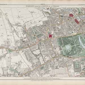
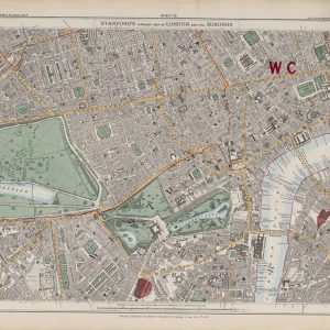
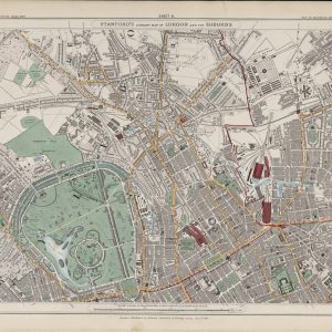
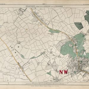
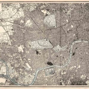
Gall & Inglis’s map of London and environs combines the dense detail of a late-Victorian city plan with practical information for travellers, particularly cyclists.
Map Details
- Publisher: Gall & Inglis
- Date: 1899
- Offices: Edinburgh and 25 Paternoster Square, London
- Map type: London and environs / touring map
- Features: Streets, stations, parks, principal towns, buildings and coloured cycling routes
London at the End of the Victorian Era
By 1899 the capital had expanded into a vast metropolitan region. Railways had drawn once-separate settlements into London’s orbit, and dense suburban development had spread along transport corridors in every direction.
The Cycling Boom
The coloured cycle routes are one of the map’s defining features. The 1890s were the great decade of the bicycle, when improved machines and pneumatic tyres made cycling practical for a much wider public.
Gall & Inglis actively produced cycling and touring maps during this period, including route books and strip maps designed to help riders judge roads and plan longer journeys.
Railways, Stations and Suburban London
Railway stations are another strong feature of the map. They show how profoundly the railway network had shaped the city’s geography, allowing workers and residents to live increasingly far from central London.
Gall & Inglis
The firm published maps, atlases, guidebooks and educational works from Edinburgh and London. Its practical touring maps became especially relevant during the cycling boom and later adapted to the needs of motorists.
Why This Map Stands Out
Many late-Victorian London maps show streets and railways. This one adds the culture of cycling, giving it a particularly strong connection with the changing leisure and transport habits of the 1890s.
Supplied unframed as a fine art print.