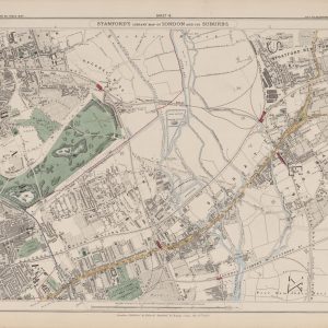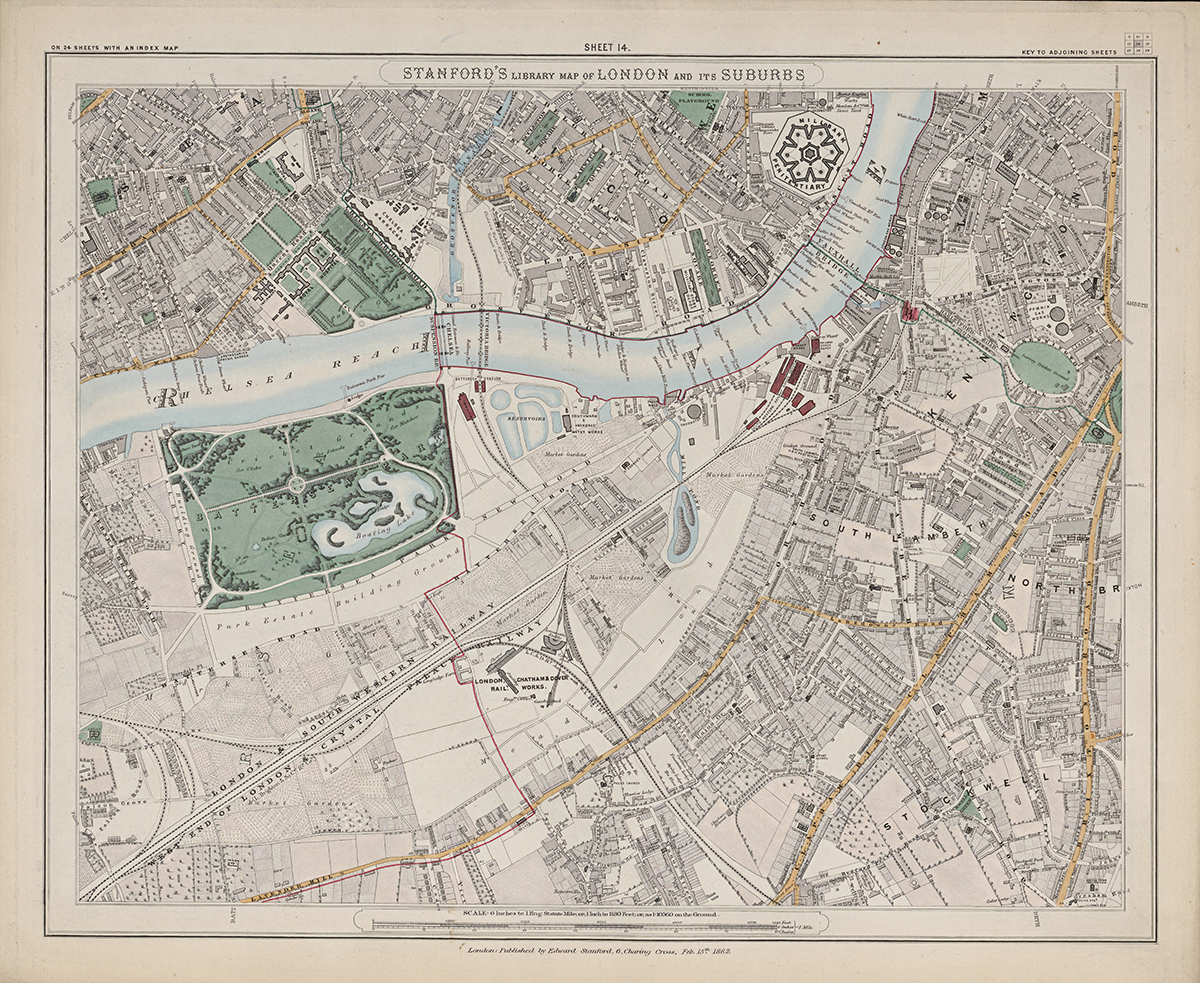
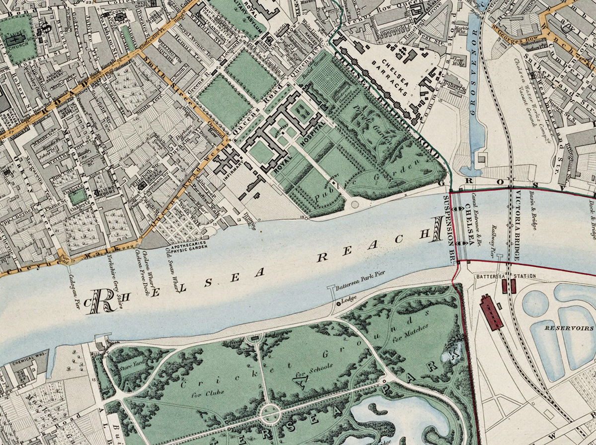
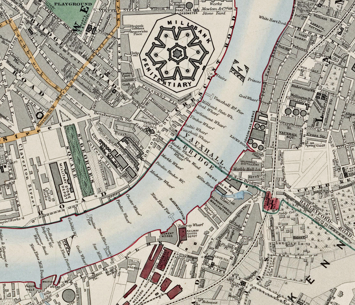
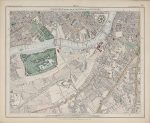
Sheet 14 of Stanford’s Library Map of London and Its Suburbs follows the Thames through central south-west London in 1862, covering Chelsea, Battersea Park, Vauxhall and Kennington. The sheet brings together fashionable riverside districts, new parkland, bridges, industry and rapidly expanding streets on both banks.
Map Details
- Original title: Stanford’s Library Map of London and Its Suburbs
- Sheet: 14 of 24
- Publisher: Edward Stanford
- Published: London, 15 February 1862
- Scale: Six inches to one mile, approximately 1:10,560
- Area shown: Chelsea, Battersea Park, Vauxhall, Kennington and adjoining Thames-side districts
- Orientation: North at the top
- Original appearance: Printed linework with hand-coloured roads, water, boundaries and open ground
Chelsea Reach and Battersea Park
Chelsea Reach forms a broad central feature of the sheet, with the river separating Chelsea from Battersea. Battersea Park, opened only a few years earlier, appears as a major landscaped space amid surrounding roads, railway lines and developing neighbourhoods.
Vauxhall, Kennington and the Thames Crossings
Vauxhall Bridge and the river crossings connect increasingly built-up districts on either side of the Thames. Farther south and east, Kennington shows a dense mix of roads, terraces and institutions, while riverside works underline the commercial importance of the Thames.
Postal and Administrative Detail
Postal district lettering and coloured boundaries preserve the mid-nineteenth-century administrative geography of the area before the modern boroughs were formed.
Modern Postcode Coverage
The area shown broadly corresponds with parts of:
- SW3 – Chelsea
- SW8 – Vauxhall and parts of Battersea
- SW11 – Battersea
- SE11 – Kennington
Modern postcode boundaries do not precisely follow the historic divisions shown on the map.