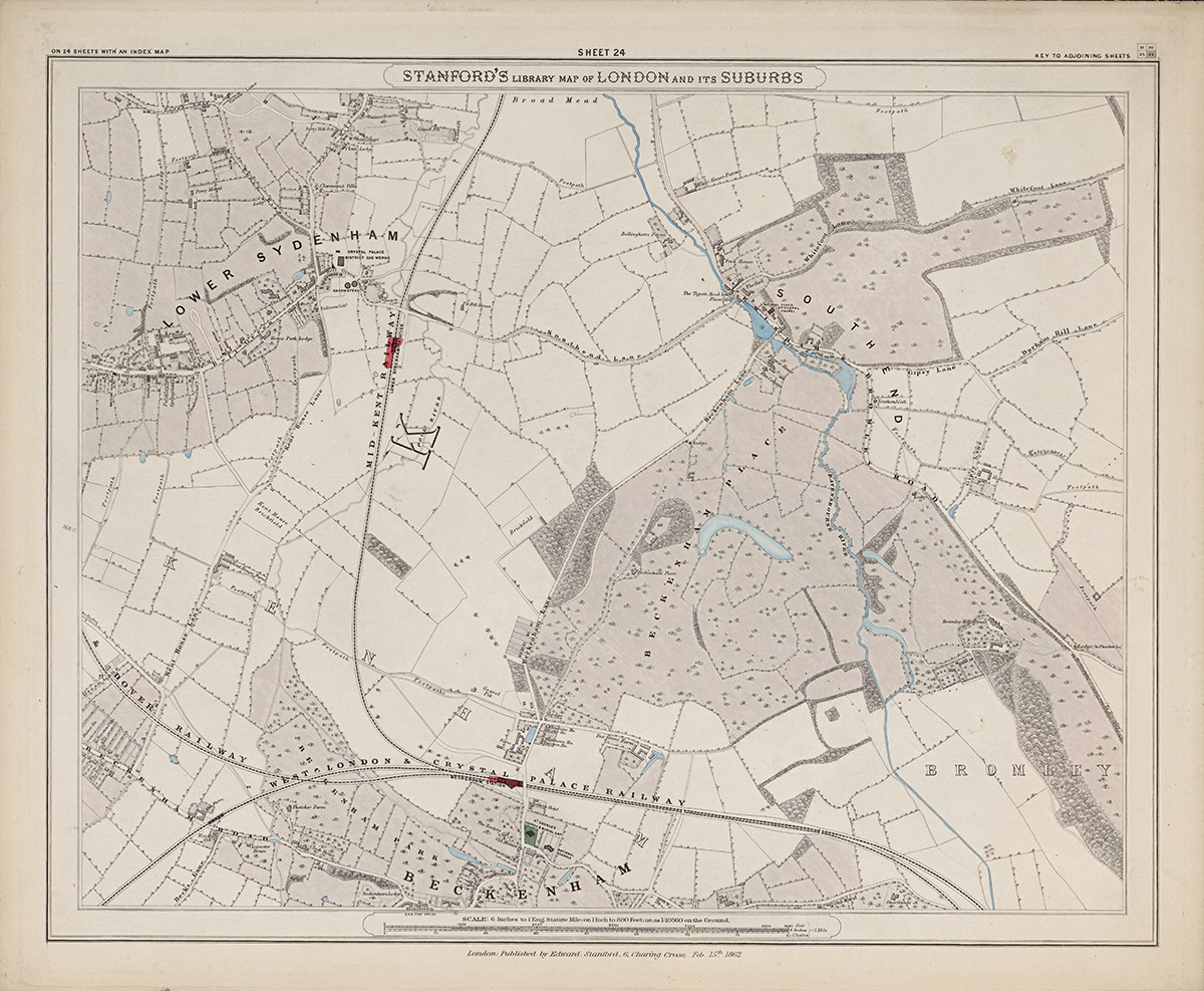
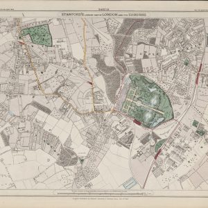
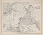
Sheet 24 of Stanford’s Library Map of London and Its Suburbs forms the south-eastern corner of Stanford’s 24-sheet survey, recording Lower Sydenham, Beckenham and surrounding country in 1862. Much of the area remains rural, with fields, estates and small settlements crossed by growing transport links.
Map Details
- Original title: Stanford’s Library Map of London and Its Suburbs
- Sheet: 24 of 24
- Publisher: Edward Stanford
- Published: London, 15 February 1862
- Scale: Six inches to one mile, approximately 1:10,560
- Area shown: Lower Sydenham, Beckenham and adjoining districts
- Orientation: North at the top
- Original appearance: Printed linework with hand-coloured roads, water, boundaries and open ground
Lower Sydenham and Beckenham in 1862
Lower Sydenham and Beckenham appear as separate settlements surrounded by extensive open land. Older roads, property boundaries and scattered buildings preserve the pre-suburban pattern of this outer edge of London.
Railways at the Edge of the Metropolis
Railway lines are the clearest signs of the changes that would follow. Improved connections with central London helped transform these rural districts into expanding suburbs during the later nineteenth century.
Postal and Administrative Detail
Parish boundaries and contemporary administrative markings preserve the geography of the area before modern borough and postcode boundaries.
Modern Postcode Coverage
The area shown broadly corresponds with parts of:
- SE26 – Lower Sydenham
- BR3 – Beckenham
- SE20 – the northern edge towards Penge
Modern postcode boundaries do not precisely follow the historic divisions shown on the map.