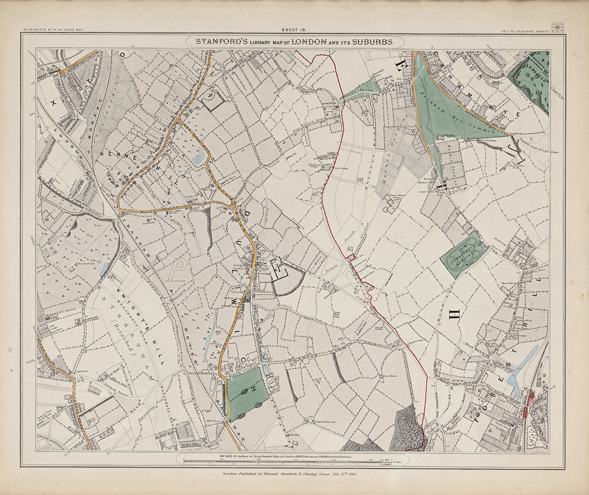
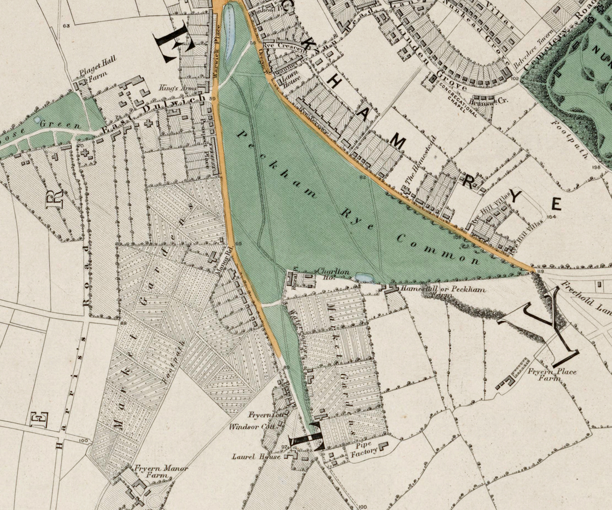
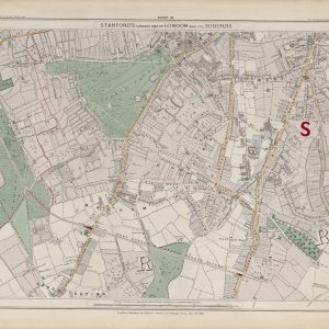
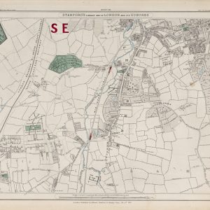
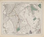
Sheet 19 of Stanford’s Library Map of London and Its Suburbs records the hilly southern suburbs in 1862, covering Dulwich, Herne Hill and Forest Hill. It shows a landscape of estates, woodland, fields and growing settlements connected increasingly by railway.
Map Details
- Original title: Stanford’s Library Map of London and Its Suburbs
- Sheet: 19 of 24
- Publisher: Edward Stanford
- Published: London, 15 February 1862
- Scale: Six inches to one mile, approximately 1:10,560
- Area shown: Dulwich, Herne Hill, Forest Hill and adjoining districts
- Orientation: North at the top
- Original appearance: Printed linework with hand-coloured roads, water, boundaries and open ground
Dulwich, Herne Hill and Forest Hill in 1862
Dulwich retains the spacious pattern of its historic estate, with large grounds and relatively limited development. Herne Hill and Forest Hill show clusters of streets and houses separated by open land, revealing the early stages of suburban expansion.
Railways and the Southern Hills
Railway lines were beginning to make these elevated districts much more accessible from central London. Their routes cross a landscape still dominated by hills, gardens, fields and older roads.
Postal and Administrative Detail
Coloured parish boundaries and postal markings preserve the administrative geography of south London before the modern boroughs were created.
Modern Postcode Coverage
The area shown broadly corresponds with parts of:
- SE21 – Dulwich
- SE24 – Herne Hill
- SE23 – Forest Hill
- SE22 – the northern edge towards East Dulwich
Modern postcode boundaries do not precisely follow the historic divisions shown on the map.