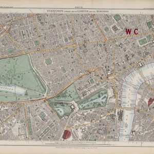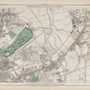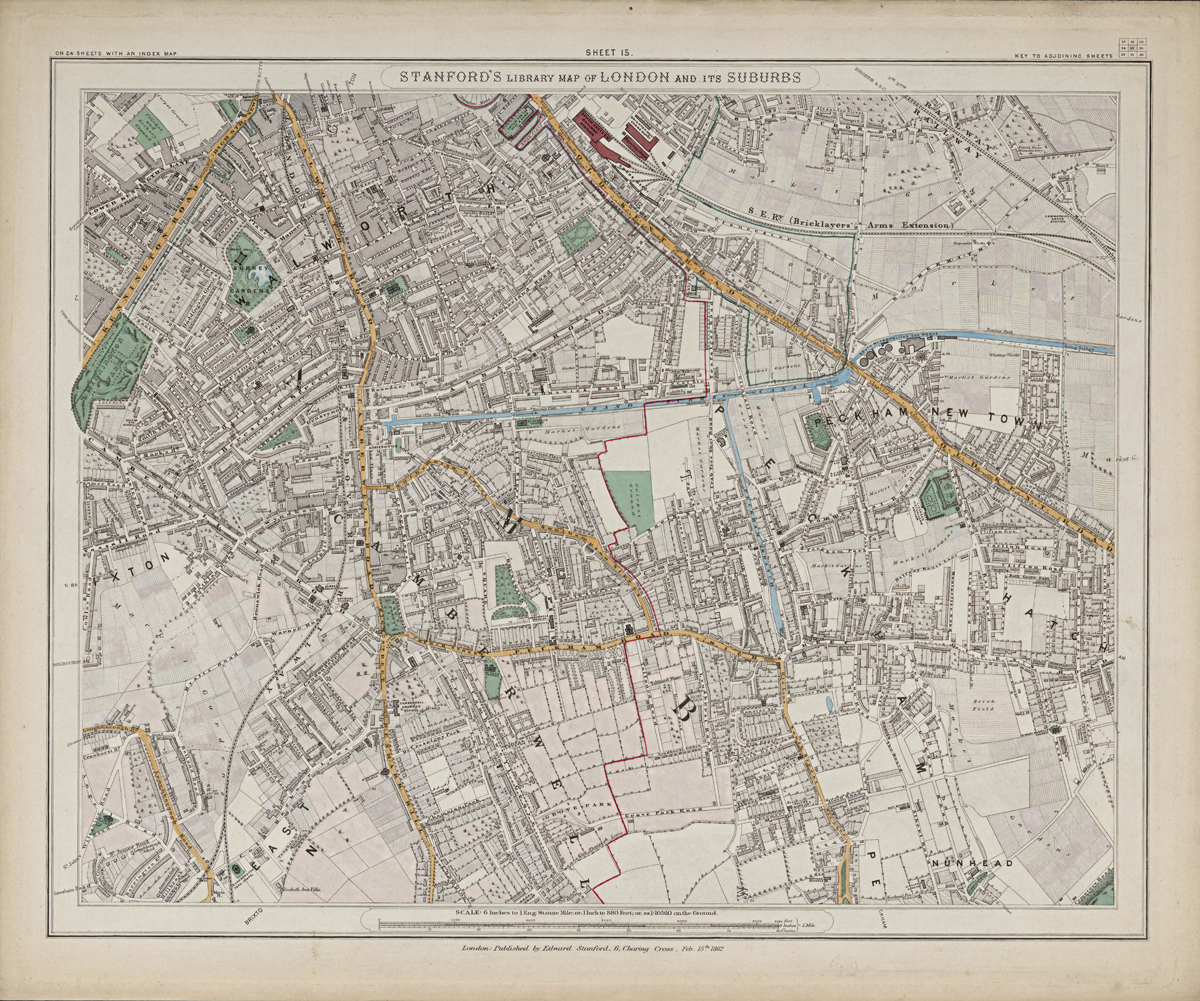
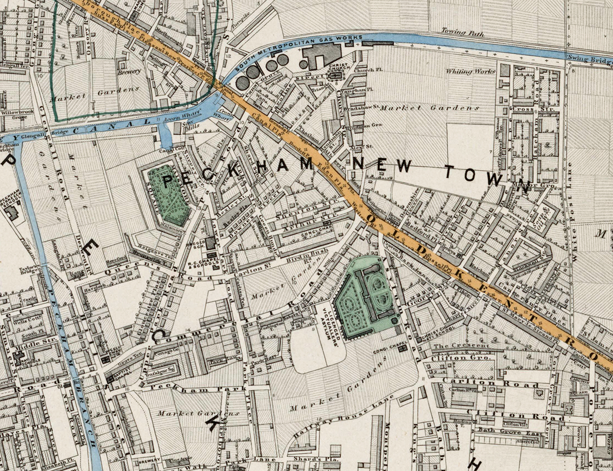
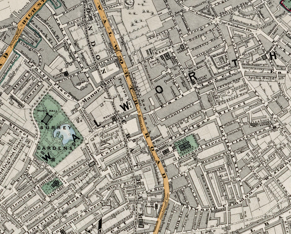
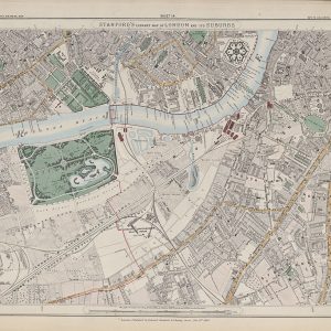
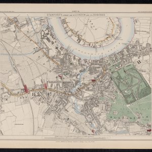
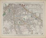
Sheet 15 of Stanford’s Library Map of London and Its Suburbs records south-east London in 1862, covering Walworth, Camberwell, Peckham and Peckham New Town. It captures a district changing quickly as new streets and railways spread across older village landscapes and remaining open ground.
Map Details
- Original title: Stanford’s Library Map of London and Its Suburbs
- Sheet: 15 of 24
- Publisher: Edward Stanford
- Published: London, 15 February 1862
- Scale: Six inches to one mile, approximately 1:10,560
- Area shown: Walworth, Camberwell, Peckham, Peckham New Town and adjoining districts
- Orientation: North at the top
- Original appearance: Printed linework with hand-coloured roads, water, boundaries and open ground
Walworth, Camberwell and Peckham in 1862
Walworth is already closely developed, while Camberwell and Peckham show a more varied pattern of established streets, village centres, gardens and open land. Peckham New Town illustrates the outward spread of London into areas that had only recently been semi-rural.
Railways and South-East London Growth
Railway lines and major roads run through the sheet, helping connect these districts with central London. Their expansion encouraged new housing and commercial streets while older parish boundaries and open spaces remained visible beneath the changing urban pattern.
Postal and Administrative Detail
The large red SE and coloured boundary lines belong to the original map, recording the South Eastern postal district and contemporary parish divisions.
Modern Postcode Coverage
The area shown broadly corresponds with parts of:
- SE17 – Walworth
- SE5 – Camberwell
- SE15 – Peckham
- SE14 – the eastern edge towards New Cross
Modern postcode boundaries do not precisely follow the historic divisions shown on the map.