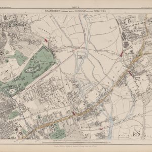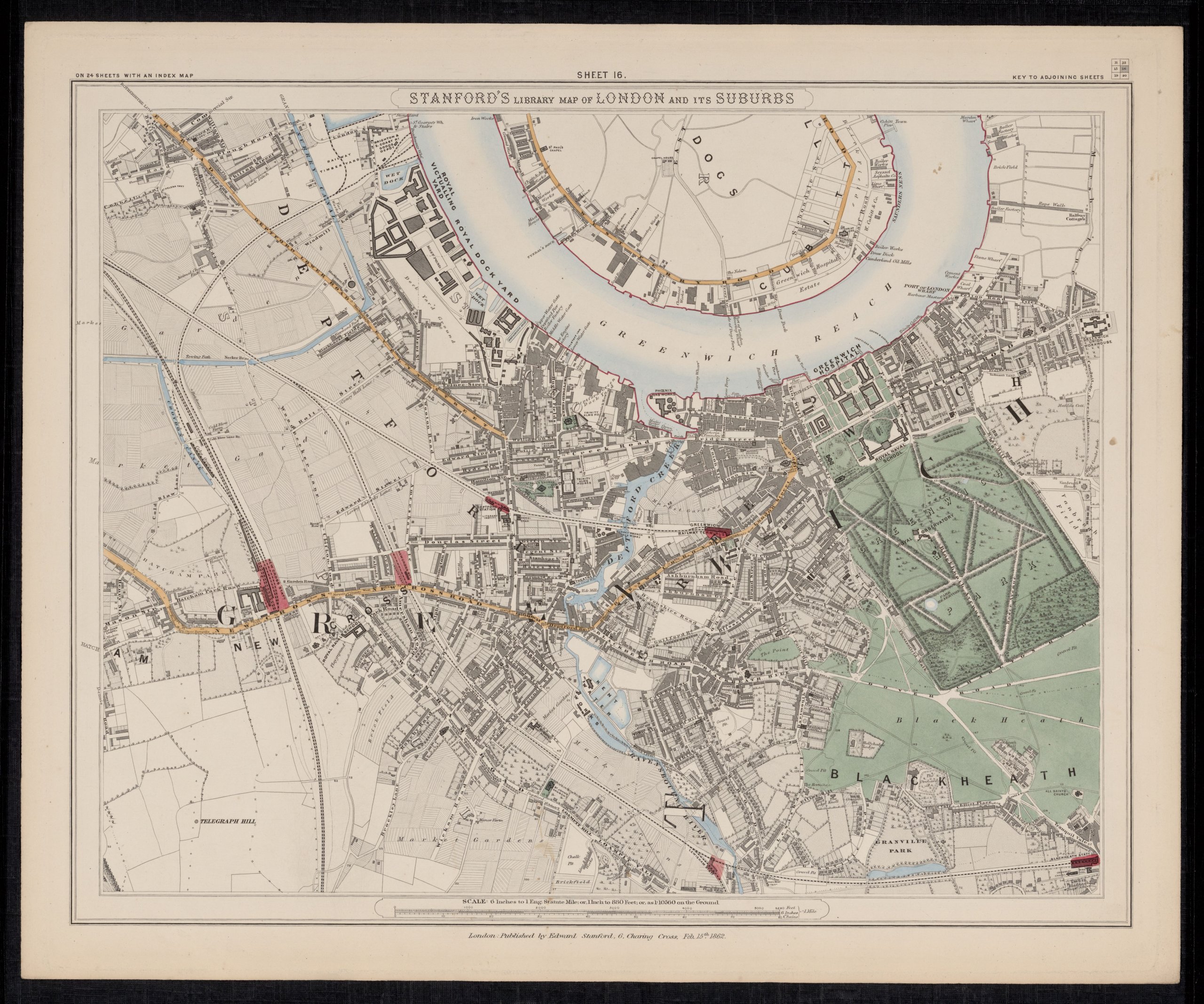
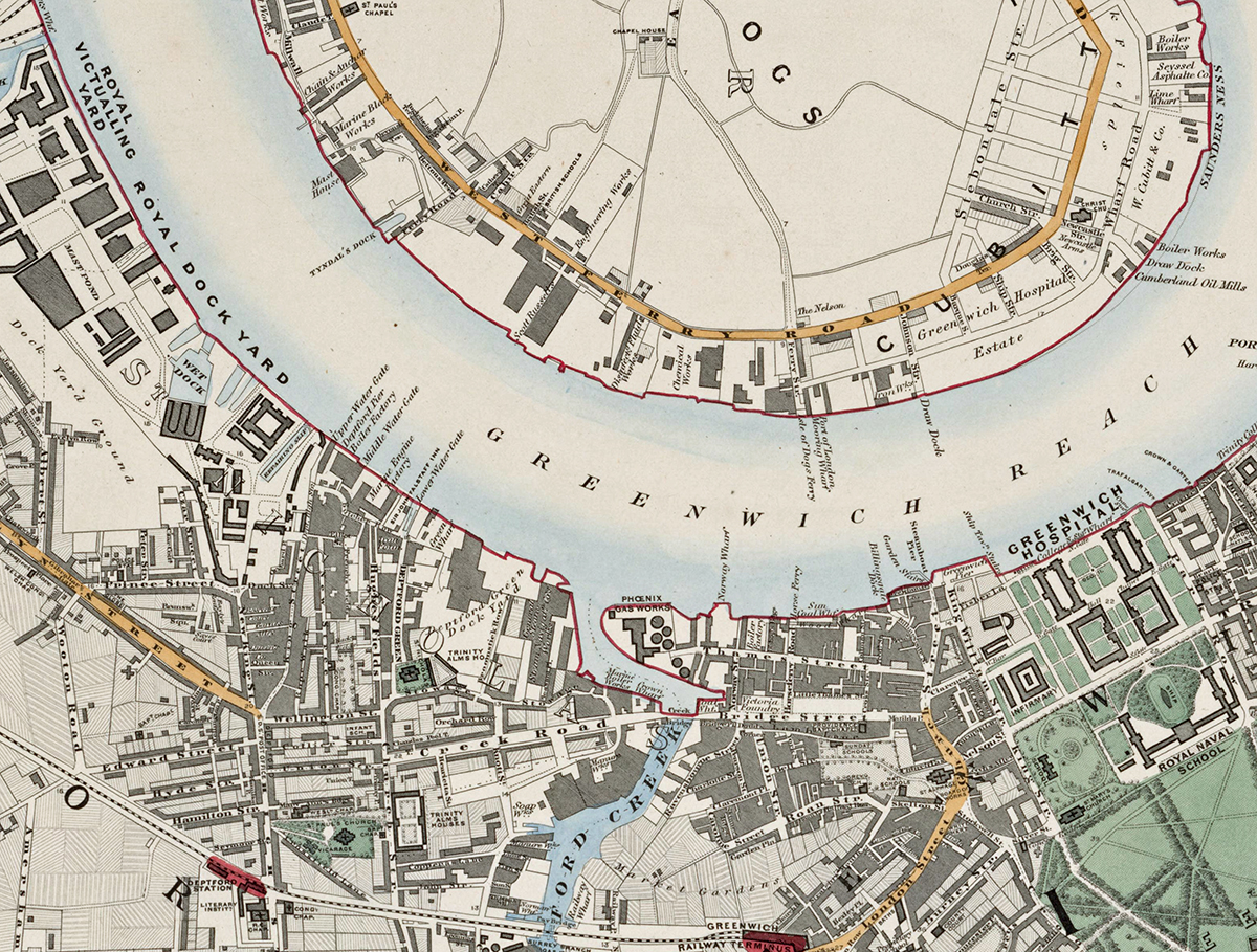
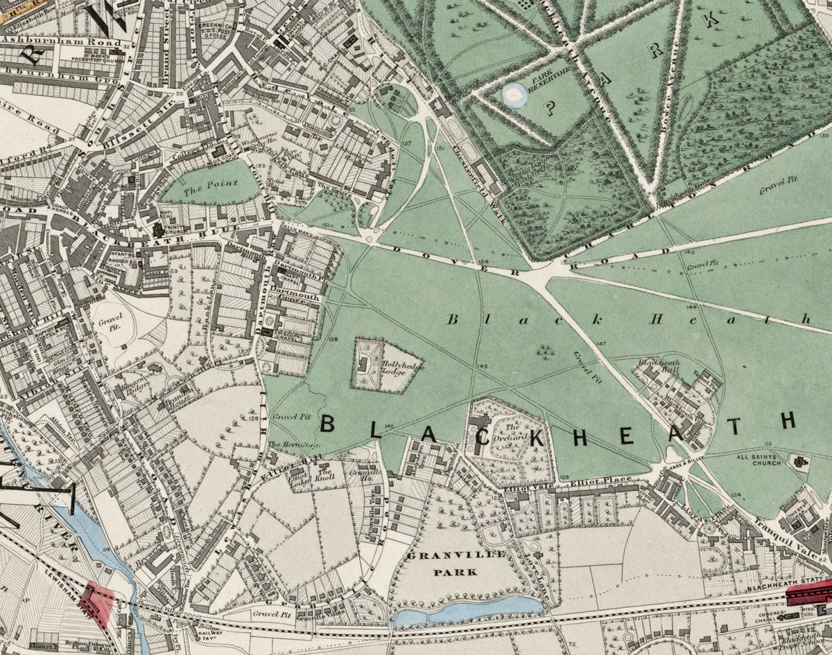
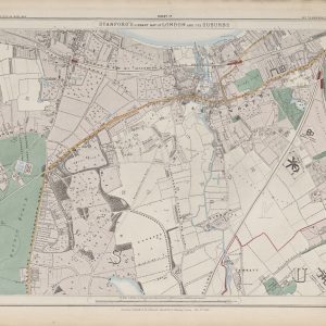
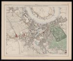
Sheet 16 of Stanford’s Library Map of London and Its Suburbs records south-east London in 1862, covering Greenwich, Deptford and Blackheath. The sheet contrasts maritime and industrial districts beside the Thames with the open landscapes of Greenwich Park and Blackheath.
Map Details
- Original title: Stanford’s Library Map of London and Its Suburbs
- Sheet: 16 of 24
- Publisher: Edward Stanford
- Published: London, 15 February 1862
- Scale: Six inches to one mile, approximately 1:10,560
- Area shown: Greenwich, Deptford, Blackheath and adjoining Thames-side districts
- Orientation: North at the top
- Original appearance: Printed linework with hand-coloured roads, water, boundaries and open ground
Greenwich, Deptford and Blackheath in 1862
Greenwich is shown around its historic riverside centre and park, while Deptford retains its strong dockyard and industrial character. To the south, Blackheath forms a broad expanse of open ground, creating a striking contrast with the increasingly dense streets nearer the river.
The Thames, Railways and Maritime London
The Thames, wharves and dockside works dominate the northern part of the sheet, while railway lines connect Greenwich and Deptford with central London. Together they illustrate the importance of river and rail transport to this part of Victorian London.
Postal and Administrative Detail
The sheet preserves the South Eastern postal district and coloured parish boundaries used before the creation of the modern London boroughs.
Modern Postcode Coverage
The area shown broadly corresponds with parts of:
- SE10 – Greenwich
- SE8 – Deptford
- SE3 – Blackheath
- SE13 – the southern and eastern edge towards Lewisham
Modern postcode boundaries do not precisely follow the historic divisions shown on the map.