
Old Maps of London from the 1800s
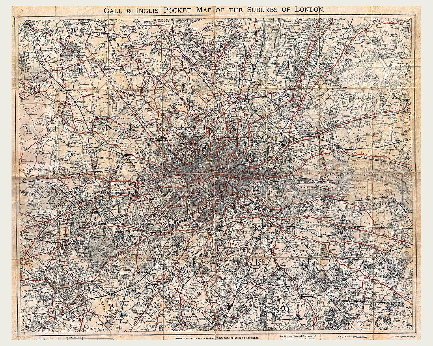
London changed dramatically through the 1800s, and its maps record that change street by street. Early plans by Baker and Mogg show the capital before its railway network spread. Later maps follow roads, stations and new housing into districts that had been fields or villages.
Stanford’s detailed sheets take you into places such as Kilburn, Greenwich and Clapham, where familiar names sit within a very different street pattern. Find an area you know, compare its routes with today, or enjoy the engraved detail of Victorian London. Each map in the collection is offered as a fine art reproduction print.
Showing 37–39 of 39 results
-
Old Maps of London from the 1800s
Price range: £34.95 through £49.95 Select options This product has multiple variants. The options may be chosen on the product page -
Old Maps of London from the 1800s
Price range: £34.95 through £49.95 Select options This product has multiple variants. The options may be chosen on the product page -

Old Maps of London from the 1800s
Price range: £39.95 through £49.95 Select options This product has multiple variants. The options may be chosen on the product page
Showing 37–39 of 39 results